-
Blog: The Toolbox meeting - 17 February
17 February 2018 Every day at noon everyone on the ship gathers on the bridge for a toolbox meeting to discuss the work ahead of us for the day. -
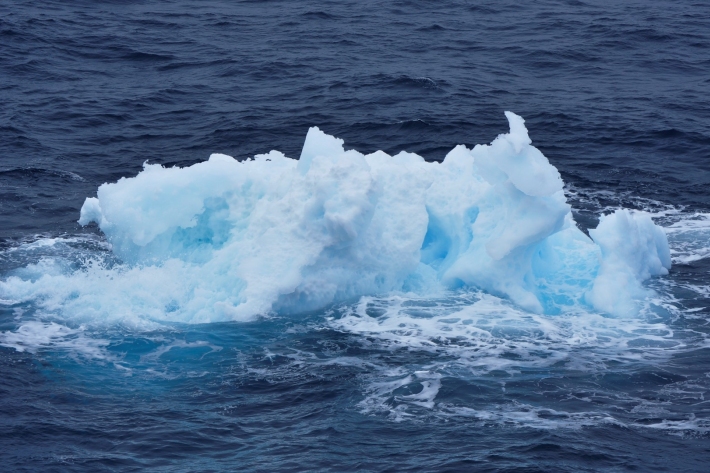
Blog: Our first icebergs - 15 February
15 February 2018Our first icebergs -
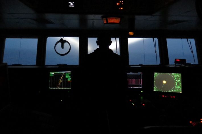
Blog: Night patrol and iceberg spotting - 14 February
14 February We are not far enough south yet to have 24 hours of daylight so it is still getting dark at night, albeit a bit later than in Wellington right now. -

Warmer seas make whales more difficult to find and track
Media release16 February 2018A two-week expedition to tag blue whales in New Zealand waters for the first time, almost came up empty due to warmer sea temperatures causing the animals to change their behaviour. -
2018 - Antarctic Voyage Update #2
What's a Bongo net? Sadie Mills tells us all about it by phone from the Ross Sea Dependency. -
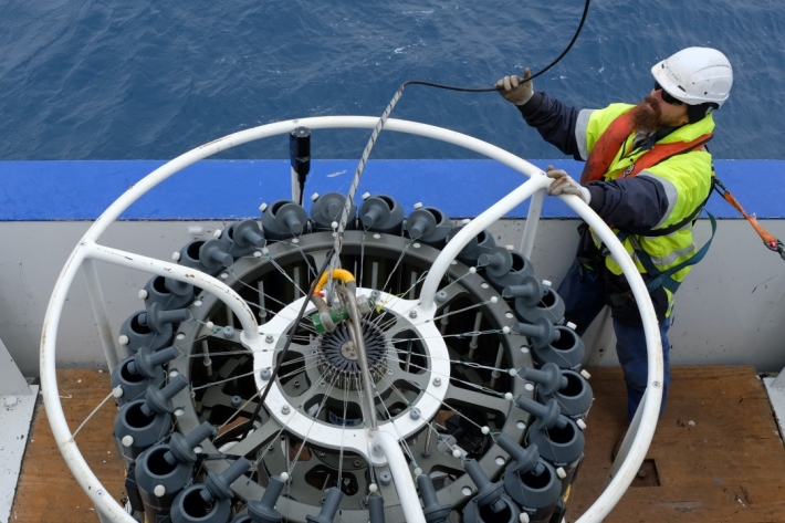
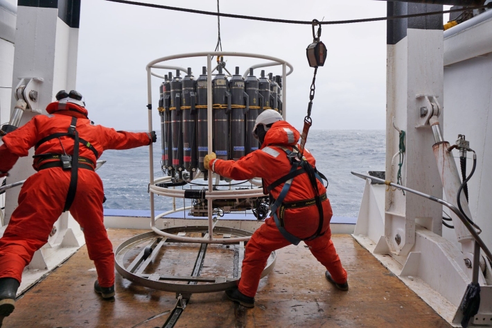
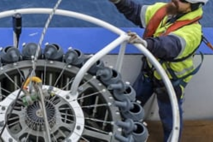
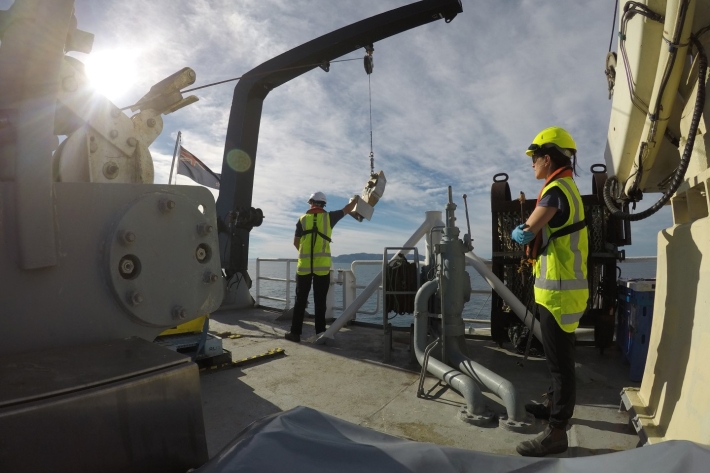
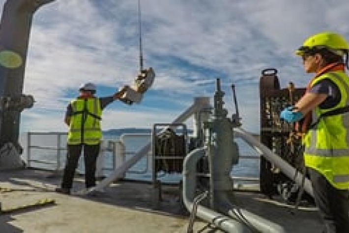
Blog: Oceanographic drifters and CTD - 13 February
Today was a busy day! We continue to transit southwards but we released three oceanographic drifters at 56 degrees South -
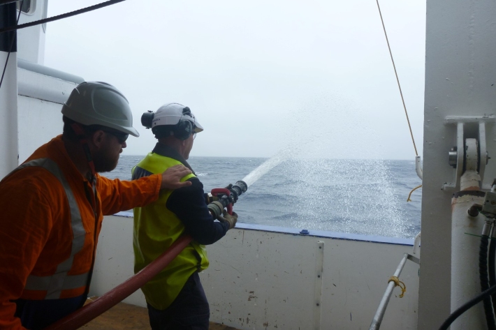
Blog: Emergency drill - 11 February
11 February 2018Today an emergency drill with fire hose practice and lifejacket familiarisation was run with all the crew. -
Blog: Science safety tour - 10 February
10 February 2018Today’s main activity was a science safety tour. -
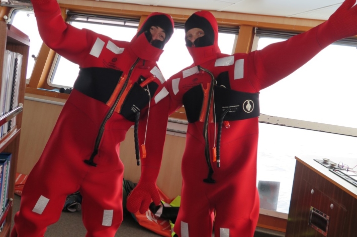
Blog: Emergency training - 12 February
12 February 2018Today our emergency training activity was focused on learning how to get in and out of our immersion suits, in under 2 minutes. -
Update from voyage leader Dave Bowden - 13 February
13 February 2018Antarctic voyage leader Dave Bowden on the phone from the Southern Ocean. -
2018 - Antarctic Voyage Update #1
TAN 1802 - Antarctic voyage leader Dave Bowden on the phone from the Southern Ocean. -

Blog: Dolphins farewell RV Tangaroa - 9 February
9 February 2018RV Tangaroa is farewelled by a pod of dolphins as it heads off on its 12th voyage to the white continent.