-

NIWA's Hotspot Watch for 21 December 2017
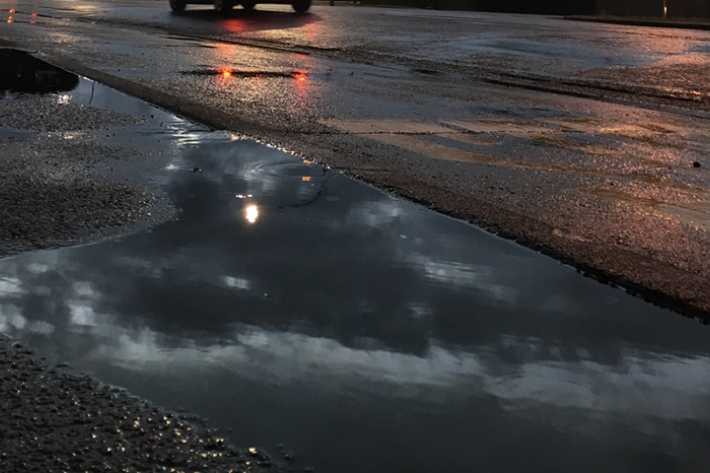
Hotspot21 December 2017A weekly update describing soil moisture across the country to help assess whether severely to extremely dry conditions are occurring or imminent. Regions experiencing these soil moisture deficits are deemed “hotspots”. Persistent hotspot regions have the potential to develop into drought. -
Summer Series 2017 - NIWA's Year of Weather
Feature story21 December 2017Four seasons with a little bit of everything.
It started with the bummer summer… then came the fires, rain, flooding and a very weird November.
But it’s all in a year of weather as NIWA wraps up the seasonal highlights. -
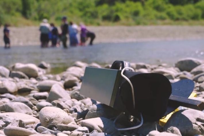
Citizen scientists take on Hutt River
Citizen scientists take on Hutt River -
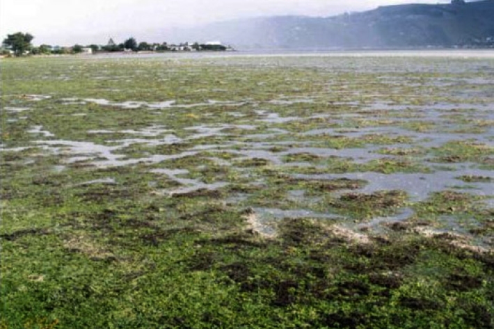
The New Zealand Estuary Trophic Index
Research ProjectExcessive nutrient input (eutrophication) threatens many New Zealand estuaries causing ecological problems, such as algal blooms and poor physical and chemical conditions for estuarine life. -
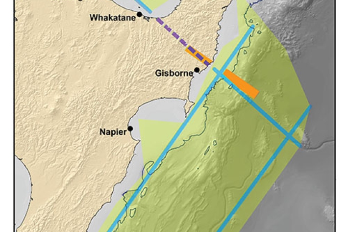
2017 - Hikurangi subduction zone
The Tangaroa assisted in New Zealand’s largest ever deployment of seafloor earthquake recording instruments in a bid to learn more about the earthquake behaviour of the tectonic plates beneath the east coast of the North Island. -

Summer Series 2017 - A year of new knowledge
Feature story19 December 2017It’s been a year of discovery for NIWA scientists who now know more than they did 12 months ago – their top five discoveries for the year range from the bottom of the ocean to the top of the atmosphere. -

Summer Series 2017
This is a special series of stories put out to the media over the 2017/2018 summer. -
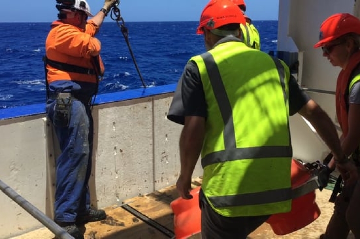
2017 - OBS Deployment
VoyageNIWA research ship Tangaroa has been chartered by GNS Science to continue work in lowering Ocean Bottom Seismometers (OBS) onto the seafloor of the Hikurangi subduction zone. -
Wire deployed corer floats being retrieved
Wire deployed corer floats being retrieved on board the RV Tangaroa. The corer sampled sediments at 9994 metre depths in the Kermadec Trench. -
ST47 9990m landing
Wire deployed corer landing at 9994 metre depth in the Kermadec Trench. Deployment and retrieval on board the RV Tangaroa. -

NIWA's Hotspot Watch for 14 December 2017
Hotspot14 December 2017A weekly update describing soil moisture across the country to help assess whether severely to extremely dry conditions are occurring or imminent. Regions experiencing these soil moisture deficits are deemed “hotspots”. Persistent hotspot regions have the potential to develop into drought. -

NIWA's Hotspot Watch for 7 December 2017
Hotspot08 December 2017A weekly update describing soil moisture across the country to help assess whether severely to extremely dry conditions are occurring or imminent. Regions experiencing these soil moisture deficits are deemed “hotspots”. Persistent hotspot regions have the potential to develop into drought.