-
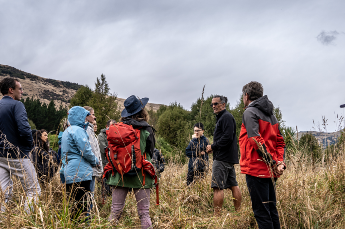
Mā te haumaru o ngā puna wai o Rākaihautū ka ora mō ake tonu
Research ProjectThis five-year NIWA-led research programme is developing a system to map flood hazard consistently across the whole country. It will reveal how our flood risk might change over the next 100 years because of changes to rainfall and sea level from climate change, as well as due to land-use changes. -

Coastal inundation risk in the Pacific
News article25 October 2024Researchers created national sea-level risk profiles for populations, buildings, croplands & infrastructure under present & future climate scenarios. -

NIWA can help you leverage updated climate projections
ServiceNIWA is using updated climate projections to help New Zealanders better understand climate-related risks. -
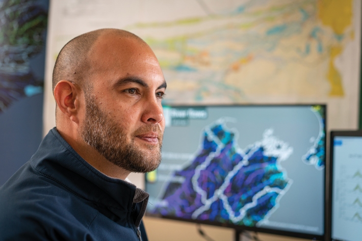
Protecting people
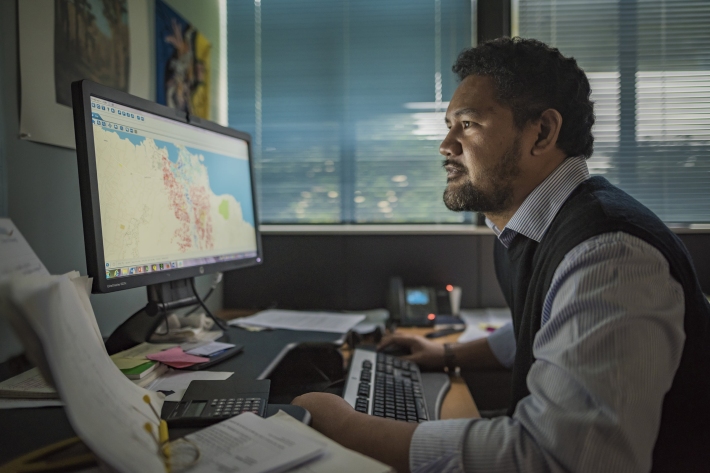
Feature story15 December 2022Mia Blyth talks to an environmental hazard specialist who feels a very personal connection to his work. -

Scientists examine high winds on Auckland Harbour Bridge
Media release27 April 2021When high winds on the Auckland Harbour Bridge last September caused two trucks to topple over, one into a load-bearing strut, NIWA scientists began thinking about what role they could play in preventing it from happening again. -
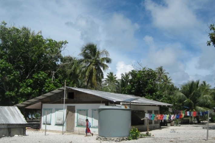
Marshallese benefit from new RiskScape drought tool
Feature story17 October 2018Inhabitants of the Marshall Islands may not be able to avoid drought, but thanks to a new tool co-developed by NIWA they can now plan ahead to better manage water resources when the big dry looms. -

Kiribati plans for climate change
-
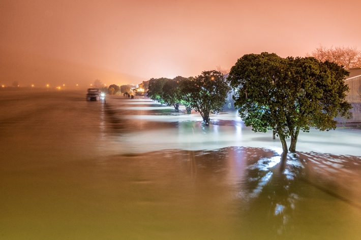
Understanding and predicting floods and their impacts
Feature story06 June 2017Floods are not unusual in New Zealand, but those that hit us early this winter broke records. Why did they occur? Should we expect more? Can we predict future floods? -
PARTneR (Pacific Risk Tool for Resilience)
Research ProjectUnderstanding how hazards impact people and the environment provides the foundation for informed decision making for a resilient Pacific.
