-

Soil Moisture Deficit (SMD)
The 3-panel Soil Moisture Deficit (SMD) map shows the historical soil moisture deficit at the date shown (left), the soil moisture deficit at the same time last year (middle) and the current soil moisture deficit (right). -
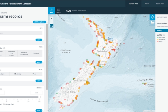
New Zealand Palaeotsunami Database
Software Tool/ResourceThe New Zealand Palaeotsunami Database (Database) brings together all known information about tsunamis that occurred prior to written records. -
Map Sw North
Education ResourceBecause of its exposure to disturbed weather systems from the Tasman Sea, this climate zone is often quite windy, but has few climate extremes. -
Tuna - recreational fisheries
The majority of New Zealanders are able to recall a story about catching eels when they were children. -
Freshwater databases online
More information about our online freshwater databases. -
Mitigation and best practice options
Here are some simple steps to minimise the effects of dairying on water quality and mahinga kai. -
Urbanisation activities
Urbanisation has changed the face of many waterways that flow through urban areas -
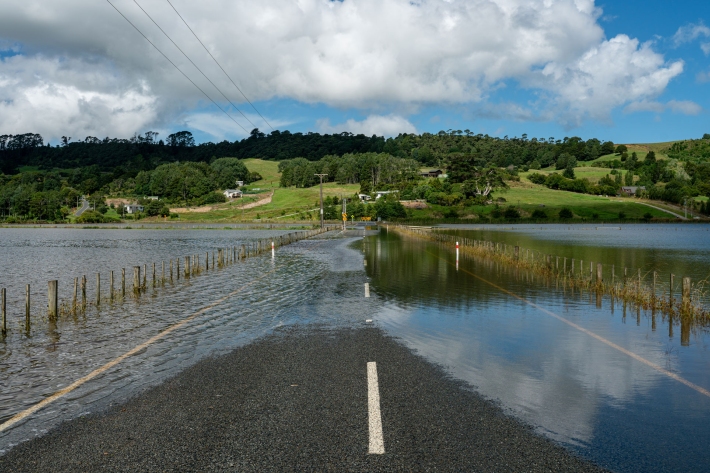
Flooding - how does it happen?
Education ResourceUnderstanding what happens above and below ground during a flooding event, and how it is different from normal rainfall conditions -
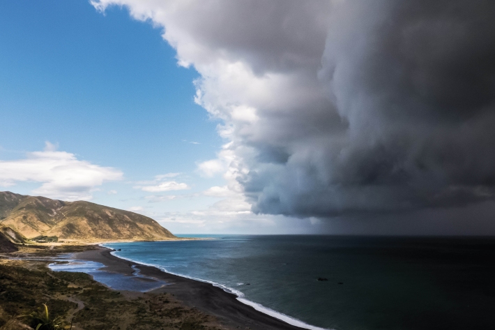
Common climate and weather terms
Education ResourceA glossary of common climate change and meteorological terms. -
Water Level Instruments
There are different types of instrument available for measuring water level. -
PARTneR (Pacific Risk Tool for Resilience)
Research ProjectUnderstanding how hazards impact people and the environment provides the foundation for informed decision making for a resilient Pacific. -
Water Quality Monitoring Capabilities
Research ProjectNIWA provides national capabilities in Water Quality Monitoring.