-
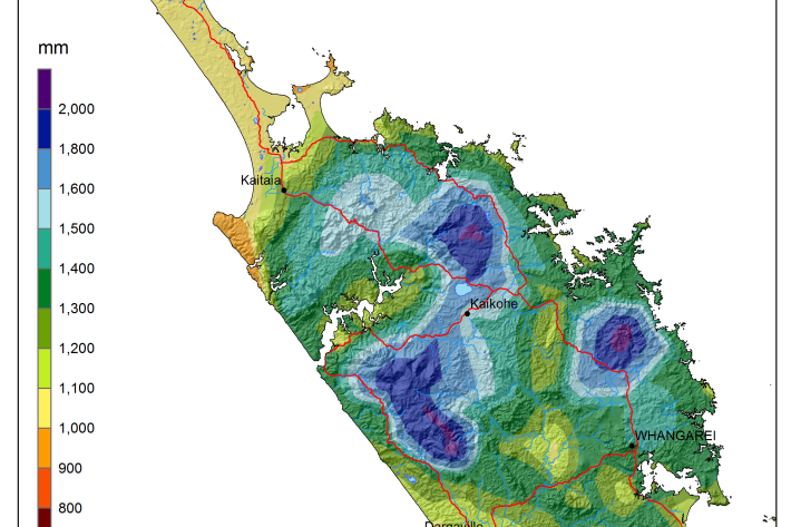
National and regional climate maps
Research ProjectMaps of average annual rainfall, temperature and other climate variables have been produced for all of New Zealand, based on the period 1981–2010. -
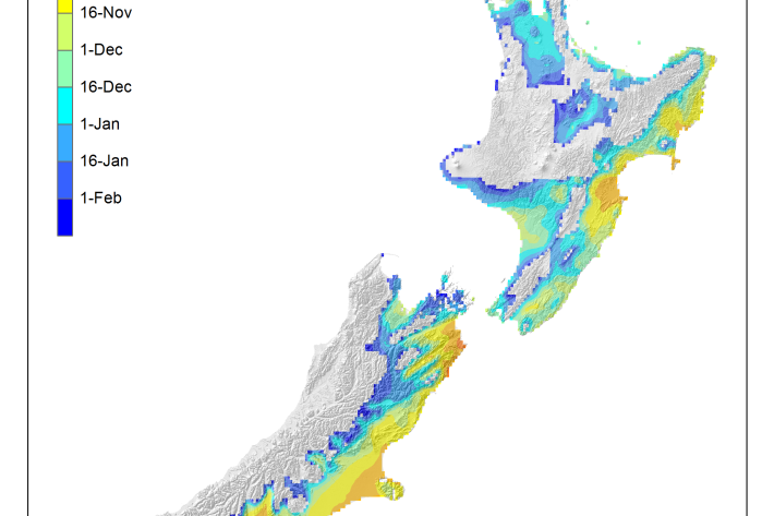
Average soil moisture deficit onset and termination maps
Maps of the average first and last dates of soil moisture deficit are shown here. -

Generating synthetic wind data
Research ProjectNIWA has recently created synthetic, multi-year, 10-minute wind datasets at 15 wind farm sites across New Zealand. These will be used by the Electricity Commission to model the impact of wind farms on the national grid. -
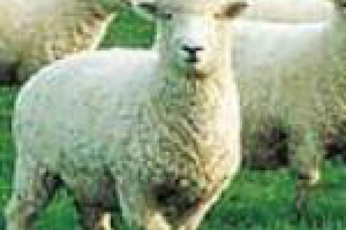
Dry stock
Dry stock farming consists predominantly of pasture grazing beef cattle, sheep, and deer for meat, wool, and velvet production. -
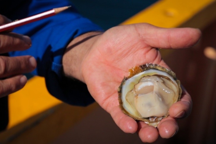
Questions and answers about oyster disease Bonamia ostreae
Media release06 June 2017NIWA is today issuing some scientific information on the parasite Bonamia ostreae, recently discovered in Big Glory Bay, Stewart Island, and the risk it poses to the Bluff oyster fishery. -

Trawl fisheries bycatch
Accurate reporting on the amount of fish and invertebrates that are caught and discarded by New Zealand’s commercial fishing industry is vital to effective management of these fisheries. -
UVI forecast for Specific Sites
Check out UV index forecasts for locations in New Zealand (including ski fields), Australia, the Pacific and Antarctica. -
Riparian management classification
Management of stream riparian areas - including vegetation and stock access - influences the health of streams and downstream water bodies. -
NZ temperature record
Research ProjectThere are many lines of evidence showing that NZ has warmed during the past century. -
Kanae
Grey mullet have a worldwide distribution and Aotearoa is at the southern limit of their range.