-
Nature knows best?
Feature story06 June 2017Returning water to our waterways after we’ve used it in our homes, on farms and in industry is a complex and challenging process. -

Map South
Education ResourceMost of this climate zone is characterised by cool coastal breezes, and absence of shelter from the unsettled weather that moves over the sea from the south and southwest. -
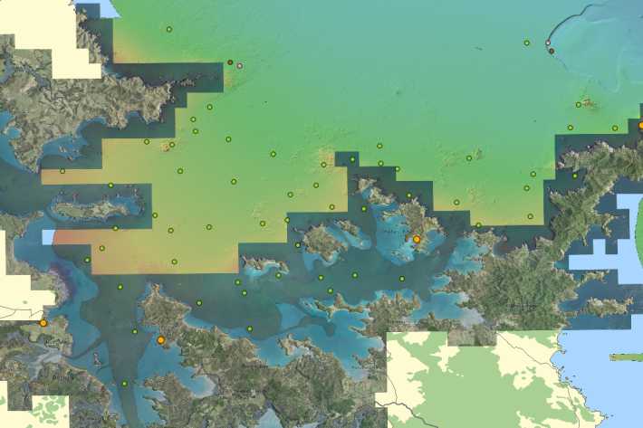
What do we measure?
Research ProjectA range of physical and chemical variables are measured in the NRWQN. -
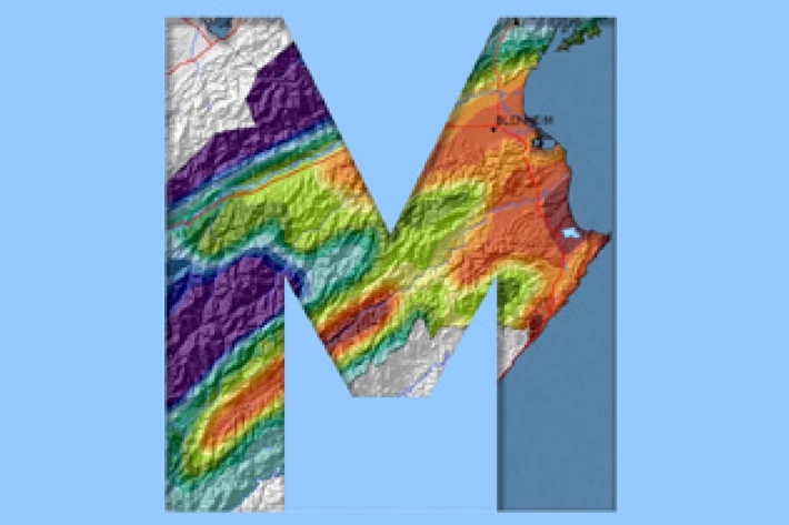
QGIS
QGIS is a free, open source, desktop mapping tool, widely used in New Zealand in government, research, commercial and NGO arenas. -
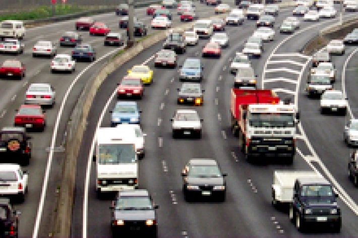
Urbanisation
Aotearoa’s main urban areas cover approximately 2% of total available land. -
Common climate and weather terms
Education ResourceA glossary of common climate change and meteorological terms. -
Water Level Instruments
There are different types of instrument available for measuring water level. -
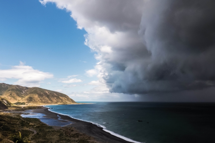
Floods
Education ResourceRiver floods occur when water spills from a river channel onto land that is normally dry, and are one of New Zealand's costliest natural hazards. -
Marlborough
The main characteristic of the Marlborough climate is its dryness. Summer droughts are frequent, and the region is often swept by warm, dry northwesterlies. -
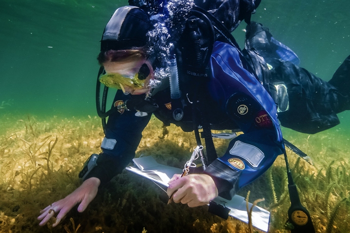
Water Quality Monitoring Capabilities
Research ProjectNIWA provides national capabilities in Water Quality Monitoring. -
Tuna - life cycle and leptocephalii
Freshwater eels have an unusual life cycle which sees them travelling between the ocean, estuaries and freshwaters.