-

Multibeam swath system
Hull-mounted on the RV Tangaroa, the EM302 multibeam echosounder maps the seafloor using a fan of 288 acoustic beams, producing up to 864 soundings per ping in dual swath mode, providing 100% coverage of the seabed. -

NZ Drought indicator products and information
Drought is a common feature of New Zealand's climate. On average, every year or two somewhere in New Zealand experiences a drought. -

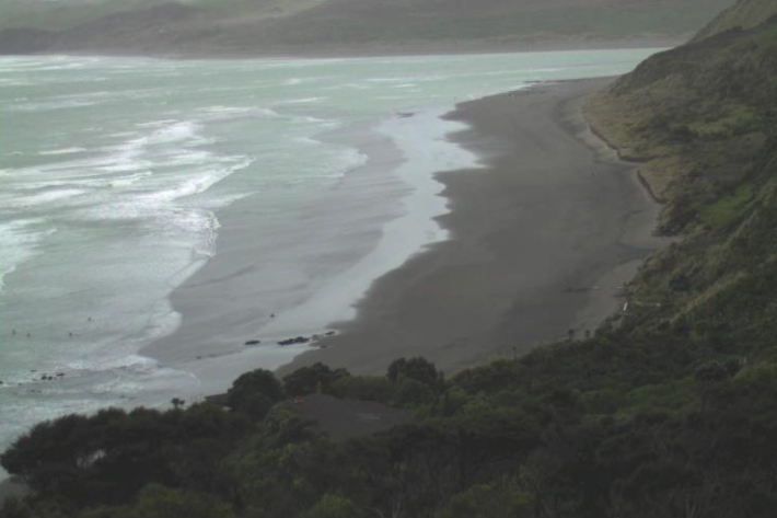
Wave action
Feature story06 June 2017New Zealand’s coast is sculpted by ocean waves. Some wave conditions bring joy to surfers and beachgoers, but, at other times, waves can cause major hazards at sea or along the shore. -
Mitigation and best practice options
Some simple steps to minimise the effects of wastewater on water quality and mahinga kai. -
Common hydrological terms
Education ResourceDescriptions of the common terms that explain the processes that occur in hydrology. -
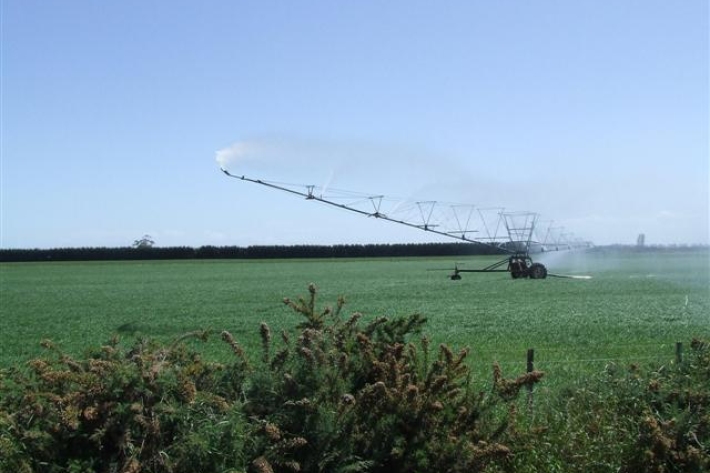
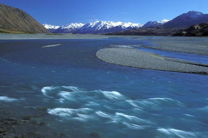
Water abstraction and agriculture
How do agricultural activities potentially influence water flows? -
Tuna - customary fisheries
Māori have an extensive knowledge of the ecology of freshwater eels, and have maintained their customary fisheries for several centuries. -
Exploration sector
Hydrocarbons, although requiring increasingly responsible use, are still an essential part of our modern economy. NIWA has provided survey and consultancy services related to the exploration of offshore mineral resources for thirty years.