-
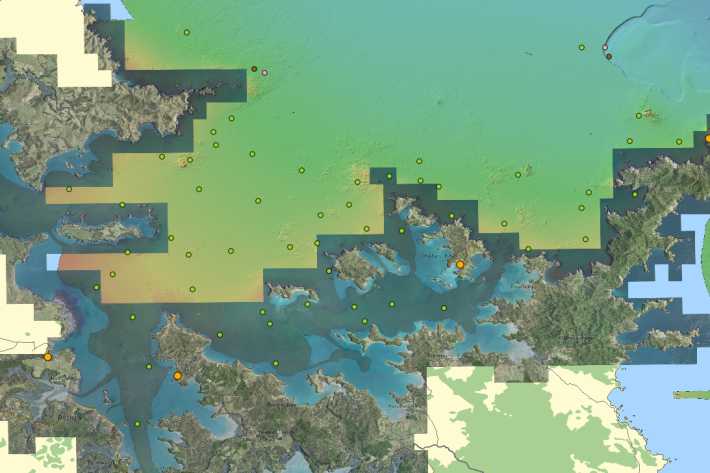
Charts
Publication seriesCharts of coastal bathymetry, sediment, and other information are available for purchase. -

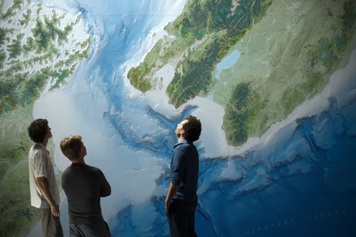
New Zealand bathymetry - Further information
Technical information about our datasets and methodology along with related resources. -
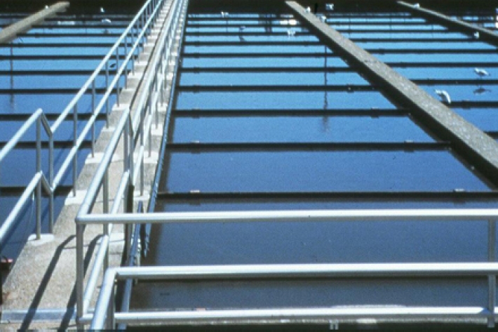
Wastewater Treatment
Wastewater treatment is the separation and extraction of solid waste from liquid waste, and the removal of nutrients and pathogens. -
Chemical contamination and aquaculture
What are the potential sources of chemical contamination from aquaculture activities? -
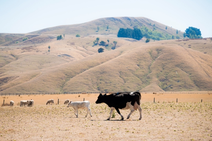
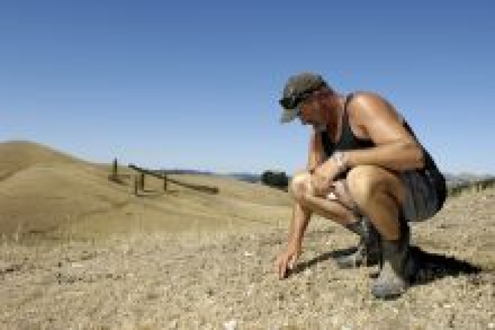
Drought
Education ResourceDefining drought and identifying its causes and impacts on humans. -
QGIS
QGIS is a free, open source, desktop mapping tool, widely used in New Zealand in government, research, commercial and NGO arenas. -
Climate change scenarios for New Zealand
Research ProjectProjections of how climate change is likely to affect New Zealand. -
Cropping activities
The land used to produce crops is usually flat to gently rolling so it can be tilled, sowed, and harvested. -
Sediment and forestry
How may forestry activities increase sediments in waterways? -
Lake Ōmāpere and the Utakura River
Tuna harvested from Lake Ōmāpere and Utakura River catchment have long comprised an important fishery for tangata whenua.