-

Map I South
Education ResourceThe climate of this zone is largely dependent on the lie of the Southern Alps to the west, but many areas are also sheltered by high country to the south and east. -
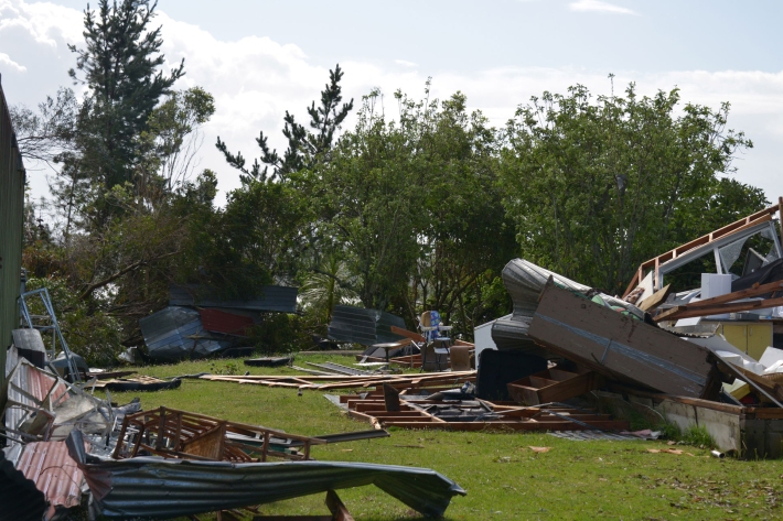
Extreme weather - winds and tornadoes
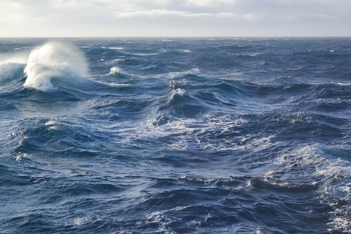
Education ResourceDue to its position in the 'Roaring Forties', a belt of strong winds in the Southern Hemisphere which generally occur between the latitudes of 40 and 49 degrees, as well as its small size, New Zealand is a windy country. -
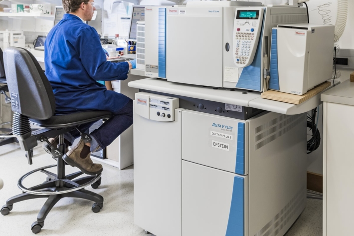
Compound Specific Isotope Analysis (CSIA)
Compound specific stable isotope analysis techniques are an increasingly useful tool to address many ecological and environmental research questions. -
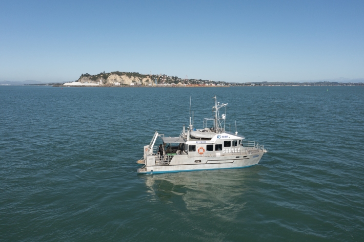
RV Ikatere
FacilityA versatile inshore vessel, RV Ikatere is equipped with high-precision multibeam and sub-bottom profiler transducers for surveying and mapping the seabed. -
Tuna - solutions: upstream passage for elvers at large barriers
The need to provide upstream passage facilities for ensuring the long term sustainability of migratory freshwater fish populations is now well recognised. -
Common climate and weather terms
Education ResourceConfused about El Niño, or can't tell the difference between an Anticyclone and an Isobar? Let us help. -
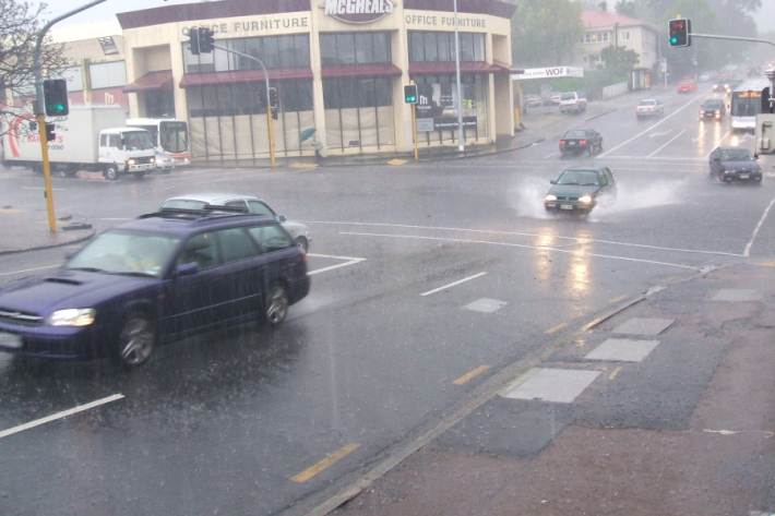
Stormwater - an introduction
Stormwater poses risks to NZ’s urban streams & coastal waters, affecting ecological health & the cultural, social, & economic value of these environments. -
'Eleven-station' series temperature data
Research ProjectTemperature trends from 1930s to present day -
Kiribati plans for climate change
-
What is ocean acidification?
Education ResourceOcean acidification is the name given to the lowering of pH of the oceans as a result of increasing carbon dioxide (CO2) in the atmosphere. -
Virtual Climate Station data and products
Virtual climate station estimates are produced every day, based on the spatial interpolation of actual data observations made at climate stations located around the country.