-

Map Sw North
Education ResourceBecause of its exposure to disturbed weather systems from the Tasman Sea, this climate zone is often quite windy, but has few climate extremes. -
Population modelling software
Casal2 is an advanced software package developed by NIWA for modelling the population dynamics of marine species. -
New Zealand's Marine Realm
News article06 June 2017NIWA has transformed 1.5 million square kilometres of data into the most accurate and detailed map yet of the land underneath the sea around New Zealand. -
Climate and weather
Information about climate and weather and links to climate-related websites. -

Freshwater fish species list
A list all of New Zealand's freshwater fish species. -
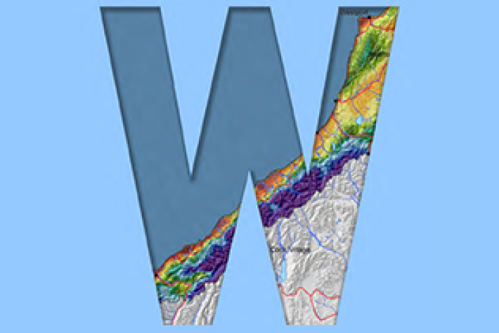
West Coast
West Coast is New Zealand’s wettest region, and this may be attributed to its exposure to the predominant westerly airflow over the country, combined with the orographic effect of the Southern Alps. -

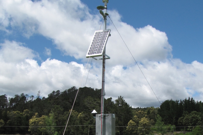
Environmental monitoring
NIWA collects a vast range of environmental information about New Zealand’s environment from the sky to the seafloor. -
Pulp and paper
Wood chips and plant material make pulp that is used to produce paper products. -
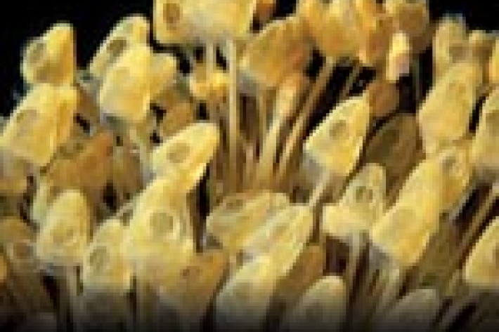
Tuna - habitat
Tuna are found in all sorts of habitats (places), including coastal estuaries, lakes, wetlands, rivers, mountain streams and even alpine tarns.