-

Sediment and urbanisation
How does urbanisation increase sediments in waterways? -
Climate data and activities
We provide an overview of New Zealand climate data for use in school projects. -
Electronic Weather Station - NIWA EWS
These gather top-quality data and are used throughout New Zealand in the National Climate Network. -
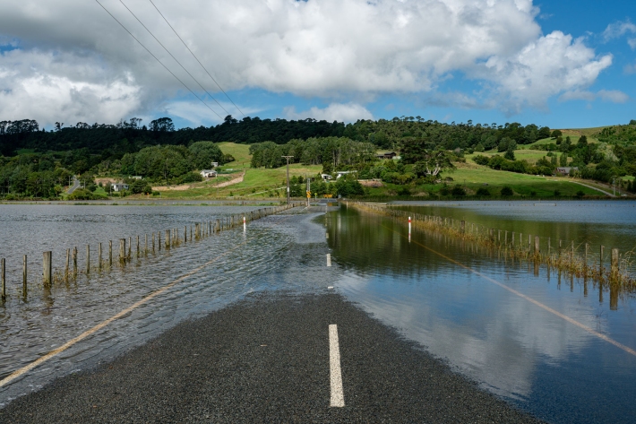
Flooding - how does it happen?
Education ResourceUnderstanding what happens above and below ground during a flooding event, and how it is different from normal rainfall conditions -
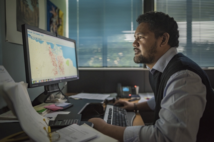
PARTneR (Pacific Risk Tool for Resilience)
Research ProjectUnderstanding how hazards impact people and the environment provides the foundation for informed decision making for a resilient Pacific. -
SolarView help
This calculator estimates the solar energy that can be collected by a solar capture device (solar panel) at a given address, panel direction and roof slope. -
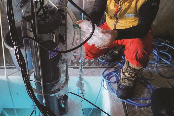
Coldest seawater discovered
Feature story06 June 2017The coldest seawater on earth could help scientists understand why Antarctic sea ice is growing in a warming world -
Inanga
Inanga are the predominant species in the modern whitebait fishery. -
Impacts of wood processing
Impacts of timber processing activities on water quality and mahinga kai. -
What is the chance of a warm summer in Invercargill?
In this activity you will analyse the Southern Oscillation Index and investigate the chances of getting below normal, normal or above normal summer temperatures in Invercargill. -
Map Chatham
Education ResourceExtremes of temperature are rare as the Chatham Islands are small land masses surrounded by sea. -
Southwest Pacific climate
Our southwest Pacific research focuses on recent and historic climate and weather activity, including our involvement in ACRE Pacific data rescue.