-
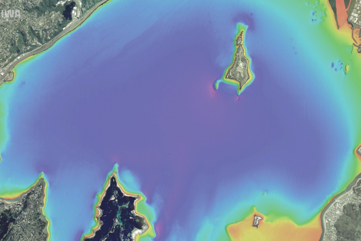
Wellington study could improve worldwide access to coastal freshwater
Media release28 August 2023A new NIWA study in Wellington Harbour will help scientists find untapped drinking water around the world. -
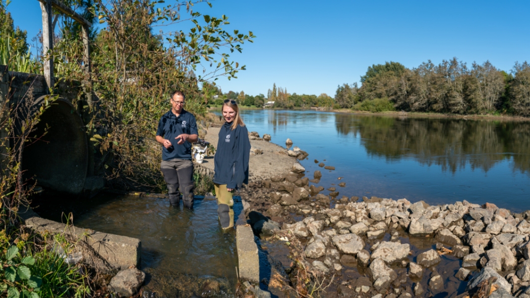
NIWA’s freshwater ecologists helping regional councils remove the barriers to fish migration
News article21 June 2023About 76 per cent of indigenous freshwater fish species, that’s 39 out of 54, are threatened with extinction or at risk of becoming threatened. -
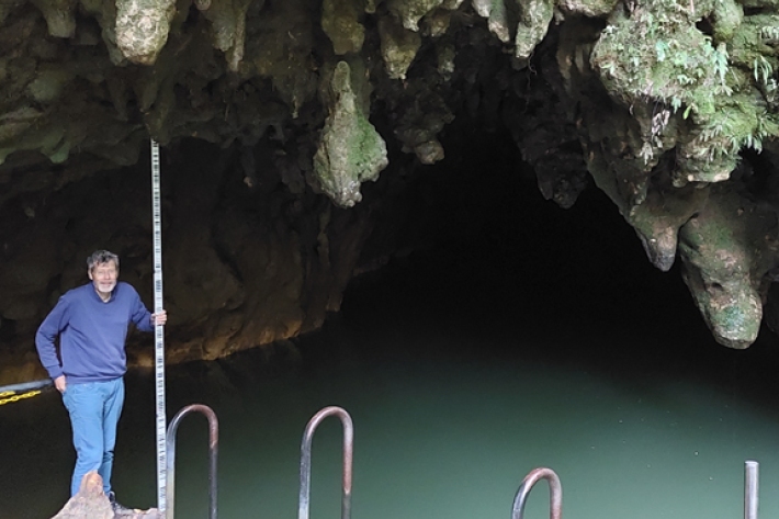
On the search for invaders
Media release24 March 2023Deep beneath Waitomo’s rolling hills lies a maze of caves and underground rivers. Here, NIWA researchers braved the dark waters to measure the current and hunt for fishy invaders under the twinkle of the cave’s magical glowworms. -
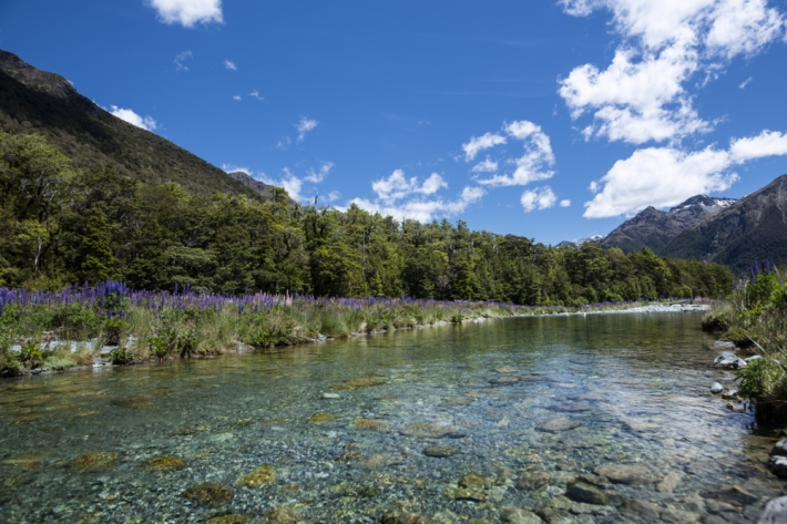
Dramatic changes in New Zealand river flows, research finds
Media release23 March 2023River flows in New Zealand have changed dramatically over the past 50 to 90 years as the climate has varied, a new study has found. -

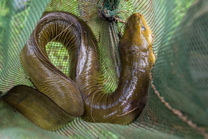
Half of NZ’s rivers blocked for migratory fish
Media release12 March 2023Nearly half of New Zealand’s river network is partially or fully inaccessible to migratory fish, a new study shows. -
Cultural Keystone Species
Freshwater Cultural Keystone (Taonga) Species such as tuna, kōura and kāeo/kākahi are central to the identity and wellbeing of many Māori communities throughout Āotearoa. For generations, these species have sustained communities and been vital in the transfer of customary practices and knowledge from one generation to the next. -
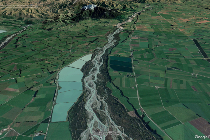
New Zealand streamflow depletion model: A tool for sustainable water resource management
As the concerns over water resources and the environment increase, the importance of combined water management, which acknowledges the integrated nature of groundwater and surface water, and manages them as a single resource, is critical to sustain both human society and aquatic and terrestrial ecosystems. -
Biological traits
Software Tool/ResourceBiological traits analysis is a valuable tool for measuring ecosystem function -
![Image of mayflies [from NIWA Benthic Macroinvertebrates Field Identification Guide]](/sites/default/files/styles/card/public/2023-02/Mayfly-image-NIWA.jpg?h=999433cf&itok=sWBAlWU1)
Freshwater invertebrate identification and e-guides
Education ResourceDownloadable and printable guides on identification of common freshwater invertebrates found in New Zealand waterways and lakes. -
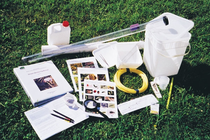
Stream Health Monitoring and Assessment Kit (SHMAK)
NIWA’s Stream Health Monitoring Assessment Kit (SHMAK) gives land owners, iwi, school and community groups simple, scientifically-sound tools and resources to monitor the ecological health of New Zealand’s streams. -

Half of NZ’s rivers blocked for migratory fish
Media release25 January 2023Nearly half of New Zealand’s river network is partially or fully inaccessible to migratory fish, a new study shows. -

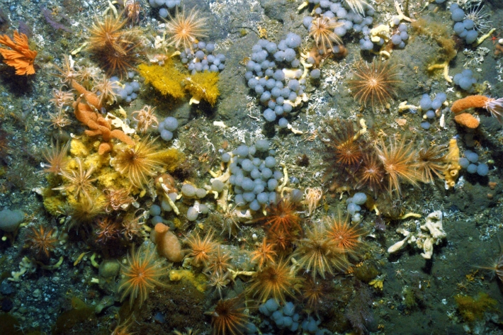
Reducing the impact on Hawke’s Bay’s marine environment
News article19 December 2022A study investigating the level of change needed to improve the state of Hawke’s Bay’s marine environment highlights the magnitude and frequency of interventions required for the seafloor ecosystem to recover.