-
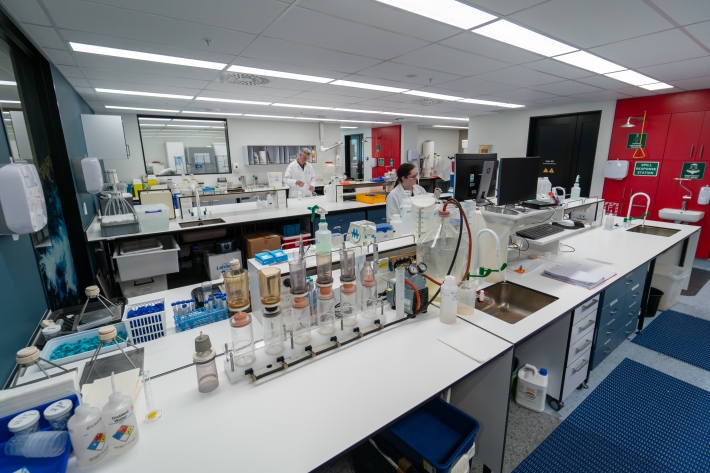
NIWA Water Quality Laboratory
FacilitySpecialists in the chemical analysis of rivers, lakes, oceans and streams -

"Now or never": fight against invasive clam gets critical boost
Media release19 September 2024NIWA has been awarded $10.2m to investigate an invasive clam that was only recently discovered in New Zealand waters. -
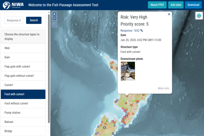
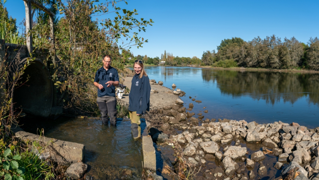
Fish Passage Assessment Tool
Software Tool/ResourceAn easy-to-use system for recording instream structures and assessing their likely impact on fish movements and river connectivity. -
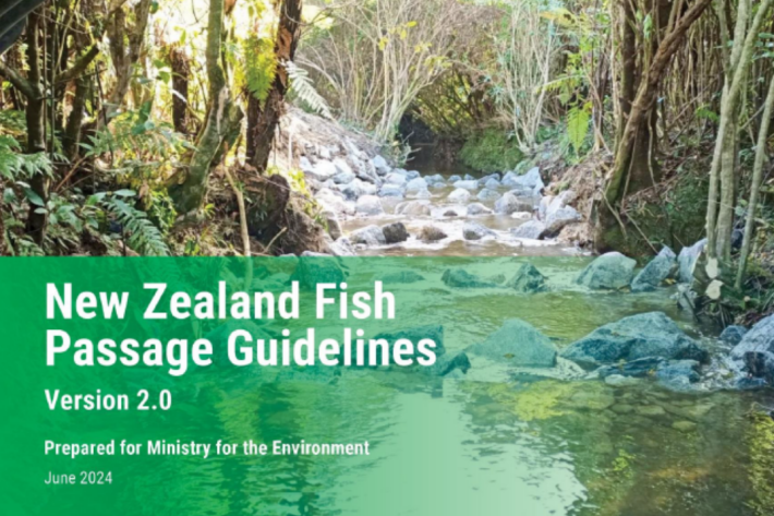
New Zealand Fish Passage Guidelines
Recommended standards for the design and restoration of instream infrastructure to provide for fish passage -
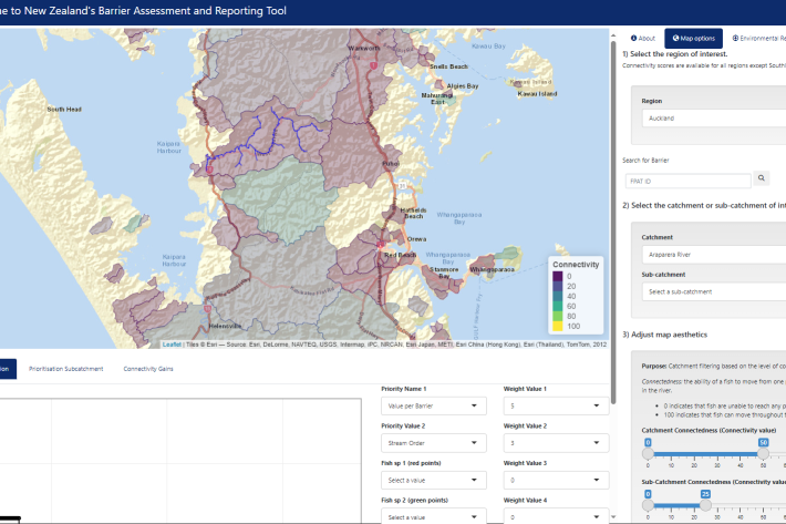
Fish Passage Barrier Assessment Reporting Tool (BART)
Software Tool/ResourceAn interactive webtool to support barrier prioritisation and fish passage environmental reporting. -

Guidelines for monitoring fish passage success
A manual detailing evidence-based methods suitable for evaluating the effectiveness of fish passage solutions. -
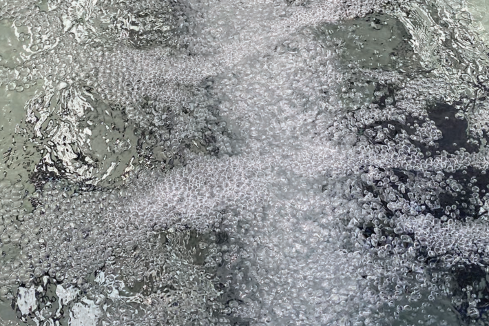
The Bio-Acoustic Fish Fence
Research ProjectInvestigating the effectiveness of an acoustic bubble-screen in minimising the movement of pest fish -
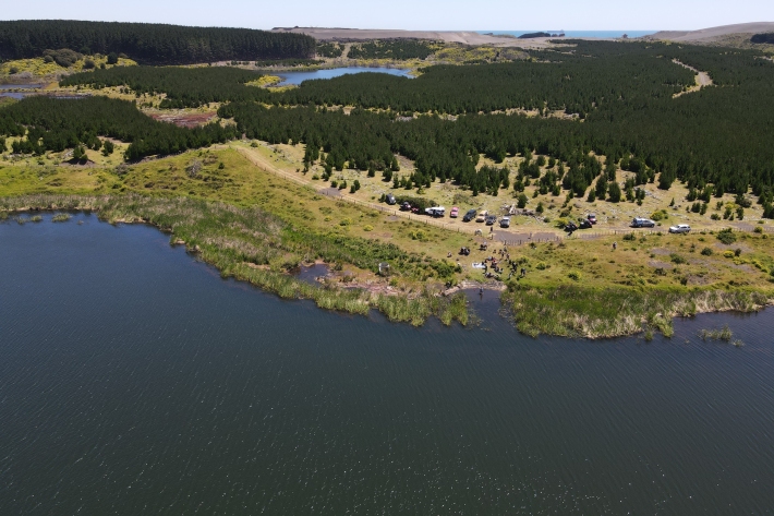
Ngaa taonga tuku iho o ngaa roto o Tahaaroa
Research ProjectDeveloping the monitoring and evaluation approaches that respond to the hauanga kai aspirations of Ngaati Mahuta -
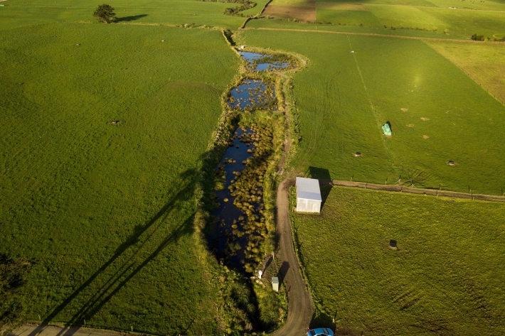
Wetland wonders: cleaning up our freshwater
Media release11 June 2024Constructed wetlands a natural solution to reduce agricultural pollution. -
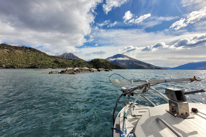
Lake Wānaka mapped in exquisite detail
Media release16 May 2024NIWA scientists have mapped the whole of Lake Wānaka in incredible detail. -

Better runoff and hazard predictions through national-scale snowmelt forecasting
Research ProjectDeveloping a snowmelt forecast system to enable more accurate and confident forecasts of river flow and alpine hazards. -
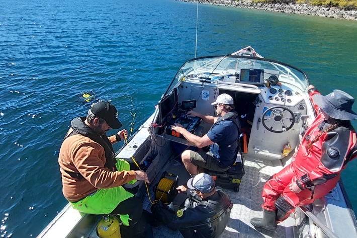
Hunting for freshwater ‘freak of nature’ in Otago
Media release18 April 2024A team of NIWA scientific divers have successfully searched for a freshwater freak of nature in Otago’s alpine lakes.