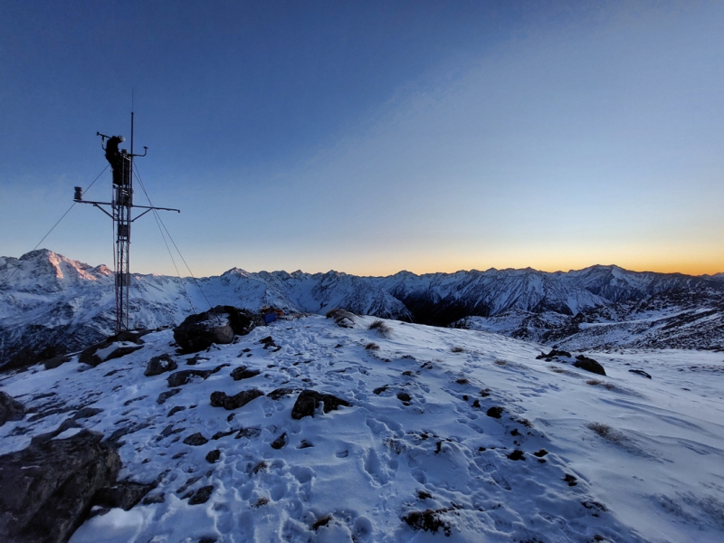
A new tool giving near real-time snow data has been made available to the public for the first time.
NIWA’s Snow and Ice Network (SIN) provides information on snowfall, depth of snowpack, snow melt and climate for ten alpine sites across New Zealand, including Mueller Hut above Mount Cook Village.
Funded as part of NIWA’s Climate Network and the National Freshwater Centre, the tool allows users to track snow at SIN sites throughout the season.
Dr Jono Conway is a Hydrological Forecast Scientist at NIWA and has been leading the project to analyse and visualise the snow depth information. He says that the SIN has been ten years in the making.
“We’ve been gathering data from these high-altitude weather stations for the last decade. This information allows us to see whether snow is tracking below or above normal for the time of year. We’re hoping this tool will help people and organisations to better understand and plan for winter conditions,” said Dr Conway.
Snow and ice dynamics affect alpine hazards, recreation, tourism, stream ecology, hydro-electric generation, and water availability. Along with model simulations and remotely sensed images of snow, SIN information is essential to understand, predict, and manage the snow resources and hazards across New Zealand.
Updated measurements are provided every Thursday and plotted on a graph for each location, so people can see how much snow there has been throughout the week and plan for the weekend.
Information from the SIN can also be used by rescue services to monitor hazards, organisations like DOC to help with their forecasting, as well as in research collaborations with universities.
“I’m thrilled that this information is now available to the public – it’s something they haven’t had access to before and will be a great tool for winters to come,” Dr Conway said.
The tool can be accessed at https://niwa.co.nz/freshwater-and-estuaries/research-projects/snow-and-ice-network


