-

Golden elegant enigma seeks ‘2025 Bug of the Year’ crown
Media release03 February 2025A short-lived, strikingly stunning native mayfly known to fly-fishers and aquatic admirers yet seldom seen by the public may have its time in the spotlight this month as a nominee for the 2025 New Zealand Bug of the Year. -
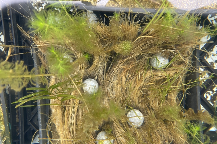
RotoTurf: Aquatic plant ‘life rafts’ in degraded lakes
A team of NIWA freshwater ecologists are researching the use of biodegradable plant mats to help reintroduce native aquatic plants to degraded freshwater lakes in Aotearoa-New Zealand. -

RotoTurf Macrophyte Species Selector
Software Tool/ResourceA tool to select aquatic plant species that will support restoration of degraded freshwater. -

Research outputs
Research projects carried out under the Future Coasts programme -

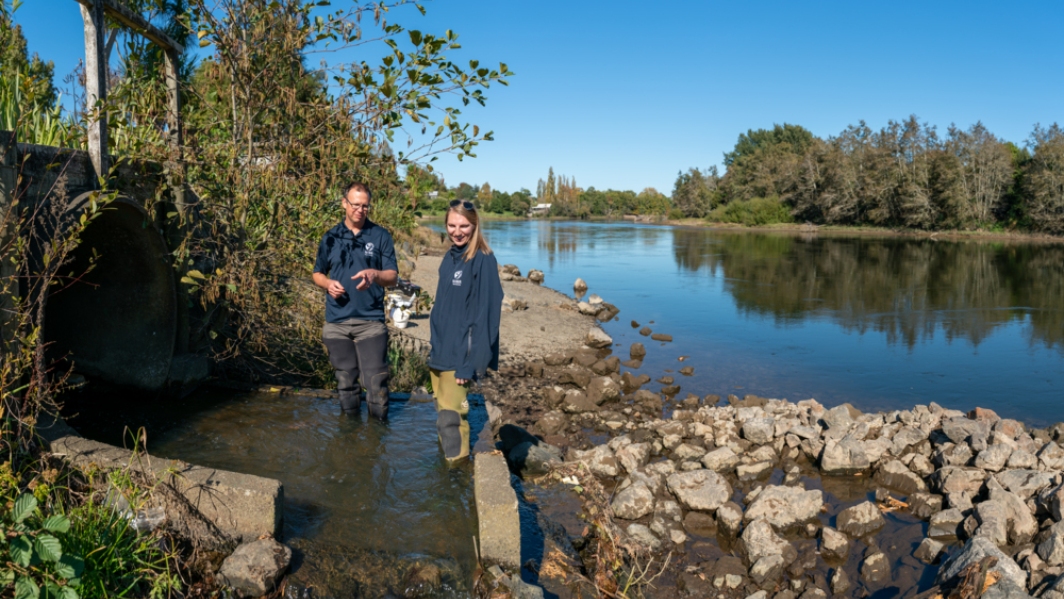
Rolling life back into New Zealand’s lakes
Media release16 December 2024NIWA is using biodegradable “life rafts” to reintroduce native plants to degraded lakes. -

Potential adaptation options
Research ProjectSee reports produced to guide potential adaptation strategies in the Lower Waikato region. -
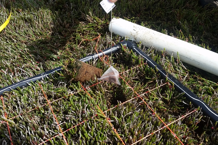
“Spilling the tea” on wetlands
Media release03 December 2024Scientists find link between temperature and carbon storage rates -

Develop a suite of control tools
Research aim: Developing a suite of control tools -

Understanding clam impacts
Research aim: Understanding clam impacts -

About the clam
Learn more about the invasive freshwater gold clam -

About the project
Find out more about the MBIE project -
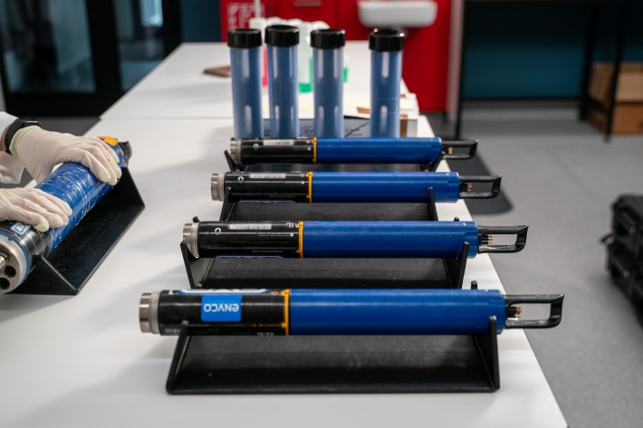
NIWA Datasonde service
ServiceMaintaining good water quality is important for healthy ecosystems and healthy humans. NIWA are experts in providing and servicing the water quality monitoring equipment you need to effectively monitor water quality in lakes, streams, coastal waters and estuaries.