-

River flow forecasting
Research ProjectNIWA is developing a national river flow forecasting tool for New Zealand that aims to support and strengthen our planning for and response to extreme rainfall events. -

New Technology Enhances River Digital Networks for Improved Water Management
Publication article21 March 2025NIWA scientists have launched a groundbreaking initiative that is transforming mapping of freshwater environments. -

Better runoff and hazard predictions through national-scale snowmelt forecasting
Research ProjectDeveloping a snowmelt forecast system to enable more accurate and confident forecasts of river flow and alpine hazards. -
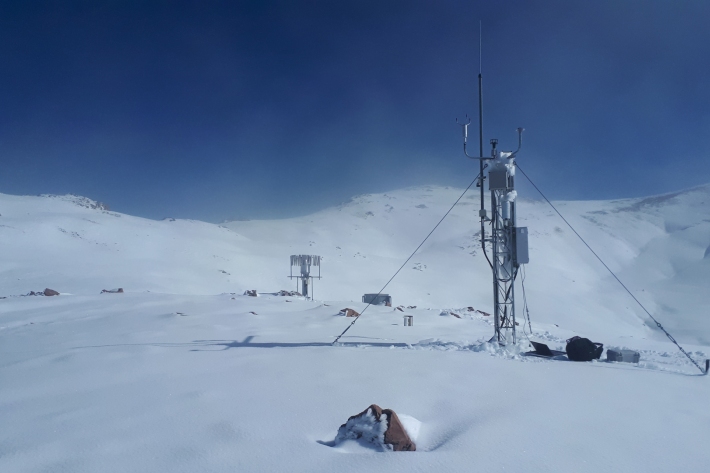
Mt Potts electronic weather station (EWS)
Our highest elevation site at 2128 m, Mt Potts is also one our sites very exposed to wind. -
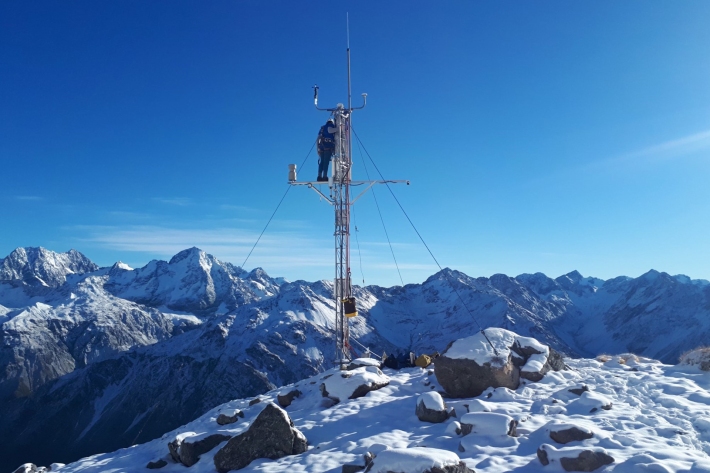
Upper Rakaia electronic weather station (EWS)
The Upper Rakaia SIN site is located at 1752 m on a north facing slope in the Jollie Range. Records start in 2010. -
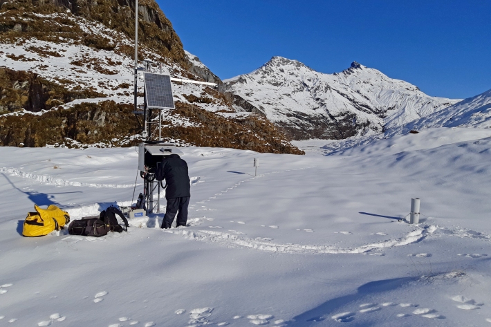
Albert Burn electronic weather station (EWS)
The Albert Burn SIN site is located at 1280 m in the upper Albert Burn valley, east of Mt Aspiring/Tititea. Records start in 2012. -
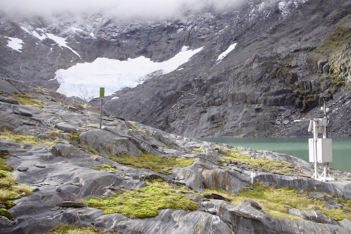
Ivory Glacier - compact weather station (CWS)
The Ivory Glacier SIN site is located at 1390 m next to Ivory Lake, west of the main divide of the Southern Alps/ Kā Tiritiri Te Moana. -
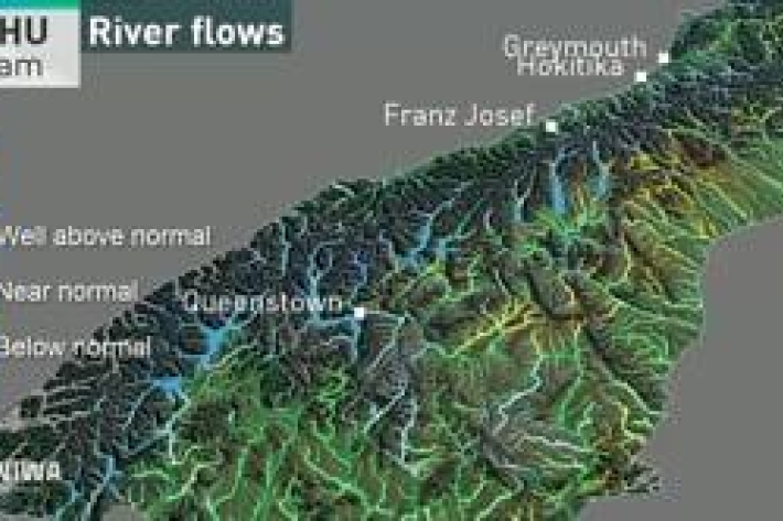
River flow forecasting
Research ProjectNIWA is developing a national river flow forecasting tool for New Zealand that aims to support and strengthen our planning for and response to extreme rainfall events. -
The largest flood flow ever measured
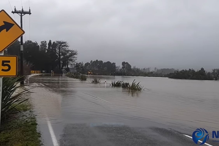
Media release29 July 2021Flood flows on the Buller River this month were the largest of any river in Aotearoa New Zealand in almost 100 years, NIWA measurements show. -
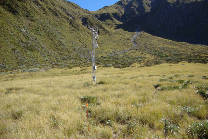
Murchison Mountains electronic weather station (EWS)
The Murchison mountains SIN station is located at 1140 m elevation in Fiordland National Park. Because of the low elevation, snow often comes and goes throughout the winter season. Snow records start in 2012. -
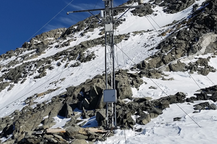
Castle Mount electronic weather station (EWS)
Castle Mount electronic weather station is at 2000 m elevation on an exposed site above the Milford Track. Records here begin in 2012. Strong winds limit snow accumulation during the winter. -
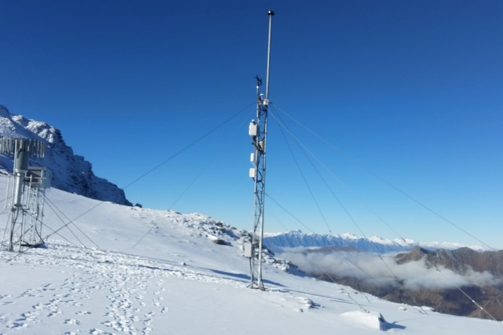
Mount Larkins electronic weather station (EWS)
The Mount Larkins electronic weather station is located east of the main divide near Glenorchy and Lake Wakatipu at 1900m elevation.

