-

New Zealand's Marine Realm
News article06 June 2017NIWA has transformed 1.5 million square kilometres of data into the most accurate and detailed map yet of the land underneath the sea around New Zealand. -
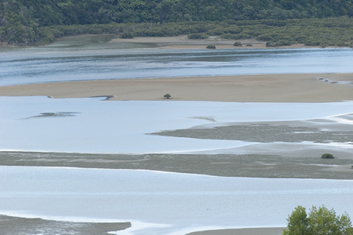
Estuary origins
In comparison to the vast span of geological time, the estuaries that we see today are very recent coastal features. -
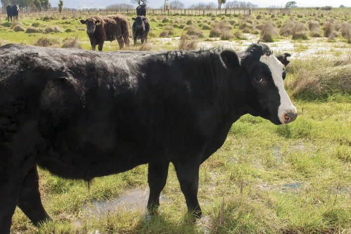
Riparian vegetation and agriculture
How may agricultural activities impact riparian vegetation around a waterway? -
What are ppm and ppb?
PPM and PPB are units used in atmospheric chemistry to describe the concentration of gases. -
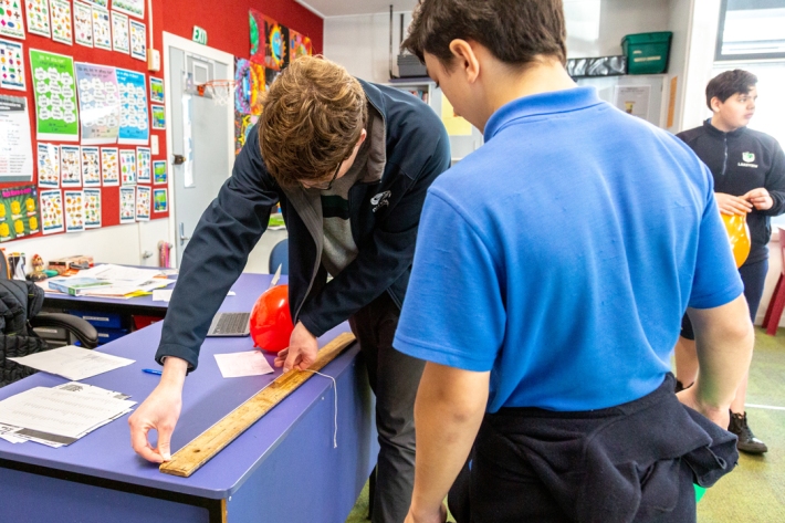
Resources for teachers
NIWA's educational resources and scientific data are tools for young people to learn about science. -
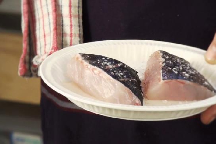
Fisheries stock assessments
To get the most benefit from a fish stock in the long term, we need to maximise our yield without damaging the fish population we rely on. -
Sea level observations (near real-time)
ServiceThis system combines daily sea-level data from NIWA, regional councils, port companies, Antarctica NZ, Bureau of Meteorology and territorial authorities. -

Algal monitoring service
ServiceBlooms of hazardous cyanobacteria (blue-green algae) in rivers, lakes and reservoirs can cause problems for both animal and human health. -
What is the greenhouse effect?
Education ResourceThe greenhouse effect is a warming of the earth's surface and lower atmosphere caused by substances which let the sun's energy through to the ground but impede the passage of energy from the earth back into space.