-

Algae ID guides
A collection of ID guides to algae. Groups include major freshwater algal groups, diatoms and blue-green (cyanobacteria), red and green algae. -
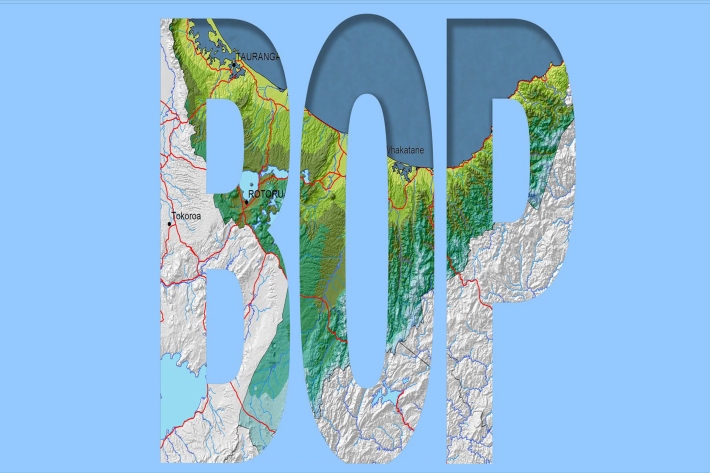
Bay of Plenty
The topography of the North Island has a profound effect on the weather of the Bay of Plenty region. -
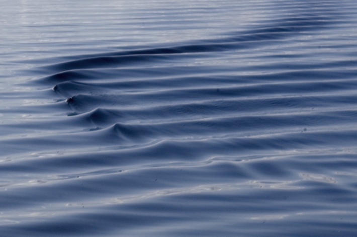
Sea level observations (near real-time)
ServiceThis system combines daily sea-level data from NIWA, regional councils, port companies, Antarctica NZ, Bureau of Meteorology and territorial authorities. -

Algal monitoring service
ServiceBlooms of hazardous cyanobacteria (blue-green algae) in rivers, lakes and reservoirs can cause problems for both animal and human health. -
What is the greenhouse effect?
Education ResourceThe greenhouse effect is a warming of the earth's surface and lower atmosphere caused by substances which let the sun's energy through to the ground but impede the passage of energy from the earth back into space. -
NIWA Hydro Web Portal
NIWA's Hydro Web Portal provides river flow and water quality monitoring data from NIWA’s Benchmark river monitoring network. -
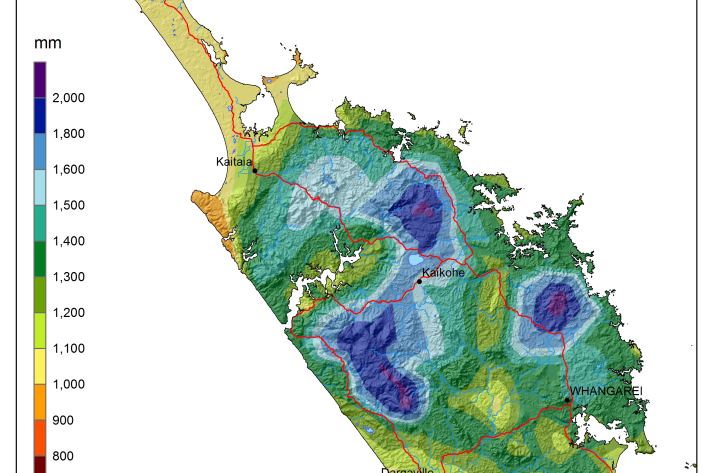
National and regional climate maps
Research ProjectMaps of average annual rainfall, temperature and other climate variables have been produced for all of New Zealand, based on the period 1981–2010. -
Canterbury Wave Conditions
Software Tool/ResourceNIWA run a computer model which simulates wave heights across the Canterbury continental shelf and along the coast. -

Publicly available data and publications
FacilityNIWA makes available and regularly updates results from several greenhouse gas measurement projects. -
Mean daily maximum temperatures (°C)
These datasets are available in a range of formats. -
Trawl fisheries bycatch
Accurate reporting on the amount of fish and invertebrates that are caught and discarded by New Zealand’s commercial fishing industry is vital to effective management of these fisheries.