-
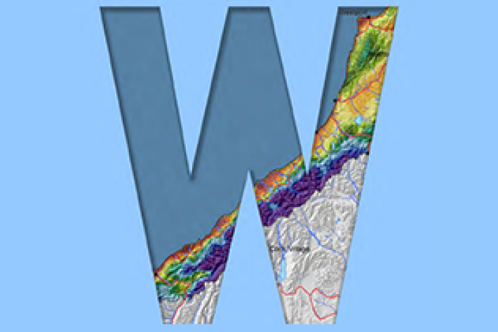
West Coast
West Coast is New Zealand’s wettest region, and this may be attributed to its exposure to the predominant westerly airflow over the country, combined with the orographic effect of the Southern Alps. -

Wave action
Feature story06 June 2017New Zealand’s coast is sculpted by ocean waves. Some wave conditions bring joy to surfers and beachgoers, but, at other times, waves can cause major hazards at sea or along the shore. -

Other Climate data products
Short-term to long-term data estimation -
Tuna - habitat
Tuna are found in all sorts of habitats (places), including coastal estuaries, lakes, wetlands, rivers, mountain streams and even alpine tarns. -

High Performance Computing Facility
FacilityThe High Performance Computing Facility (HPCF) is supercharging New Zealand science. -
Mean daily global radiation (Mj/sq m)
These datasets are available in a range of formats. -
Mussels: more, fresher, better
Feature story06 June 2017The seafood counter at your local supermarket has changed. -
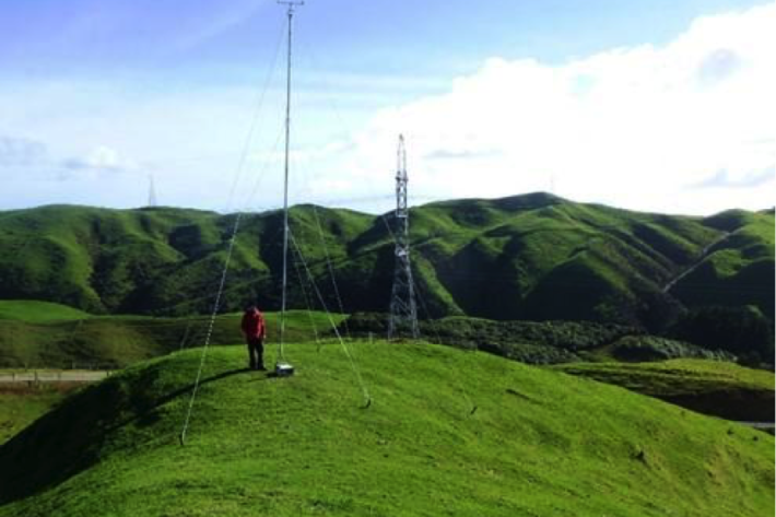
Estimating design wind speeds in complex terrain
Research ProjectThe current method for calculating wind speed-up is inadequate, and can grossly under-predict correct design wind speeds in NZ's complex terrain. -
Tuna
Tuna or freshwater eels are a very significant, widely-valued, heavily-exploited, culturally iconic mahinga kai resource. -
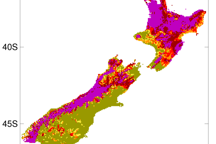
2012-2013 Drought
The 2012-2013 drought affected the entire North Island plus the west coast of the South Island. -
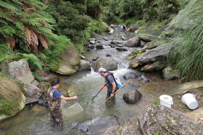
Guidelines for sampling freshwater fisheries
We have prepared a breakdown of the different guidelines that are available for sampling freshwater fisheries. The overview provides links to key documents that explain what should be considered when designing fish monitoring studies and how to implement the various sampling techniques.