-

Mitigation and best practice options
Some simple steps to minimise the effects of mining activities on water quality and mahinga kai. -
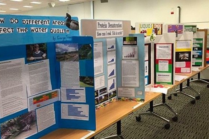
Science and Technology Fairs
NIWA is a major sponsor of the Auckland, Manukau City, North Harbour, Waikato, Wellington, Canterbury and Bay of Plenty – Science & Technology Fairs. -
Weather plots: temperature and relative humidity
Objective: to observe the relationship between temperature and relative humidity. -
Cloud Imagery
On this page
NZ Region Cloud Analysis Australasian Region Infrared Hemispheric Infrared NZ High-res Visible Contact
All transmissions from GMS-5 are no longer received at NIWA’s satellite reception station in Wellington. We are working on an alternative data feed and will be able to bring back these images later this year. Once we start receiving data again, it will then be calibrated, re-mapped onto standard map projections, and archived. -
Smelt
Smelt have a distinctly forked tail and a strong cucumber smell. -
Impacts of water dams
What are the impacts of water dams on water quality and mahinga kai? -

Chemical contamination and wood processing
What are the sources of chemical contamination from wood processing? -

Multibeam swath system
Hull-mounted on the RV Tangaroa, the EM302 multibeam echosounder maps the seafloor using a fan of 288 acoustic beams, producing up to 864 soundings per ping in dual swath mode, providing 100% coverage of the seabed. -
Algae ID guides
A collection of ID guides to algae. Groups include major freshwater algal groups, diatoms and blue-green (cyanobacteria), red and green algae. -
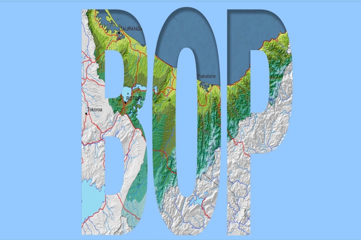
Bay of Plenty
The topography of the North Island has a profound effect on the weather of the Bay of Plenty region.