-
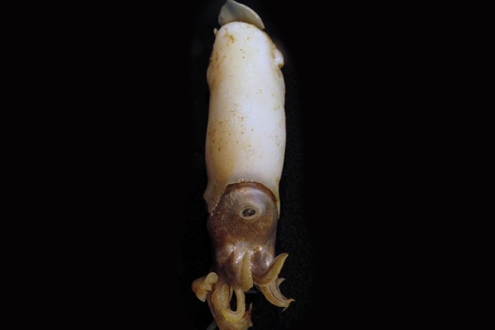
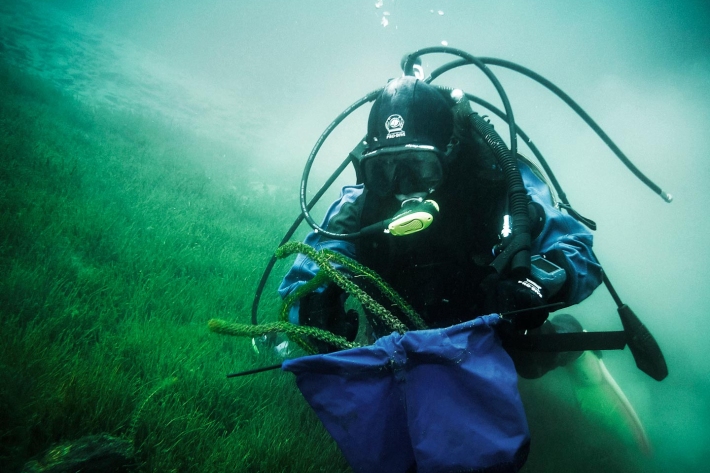
Critter of the week
In this blog series, we feature a new critter from our expansive invertebrate collection including pictures of specimens in their unique habitat. The blogs also feature news, links and fun facts that showcase New Zealand’s fascinating marine fauna. -
Lesson 9: Ngā Tohu o te Taiao – Māori environmental indicators
Education ResourceThis lesson will explore the use of Māori environmental indicators [tohu] to anticipate local weather and climate conditions. -
Ideas for projects using climate data
Education ResourceIdeas for projects using climate data -
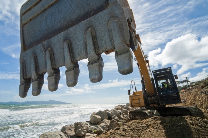
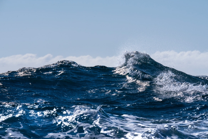
Shifting Sands – the end of a Kiwi dream
Feature story06 June 2017The Kiwi dream of owning a beachfront property with panoramic views of the ocean is under threat—and not just for financial reasons. -

Atmospheric ozone, ultraviolet radiation, and stratospheric change
Research ProjectCFCs have damaged the ozone layer and led to higher UV levels and increased health risks. Our role is to understand the causes and effects of ozone depletion, to inform the public of the risk. -
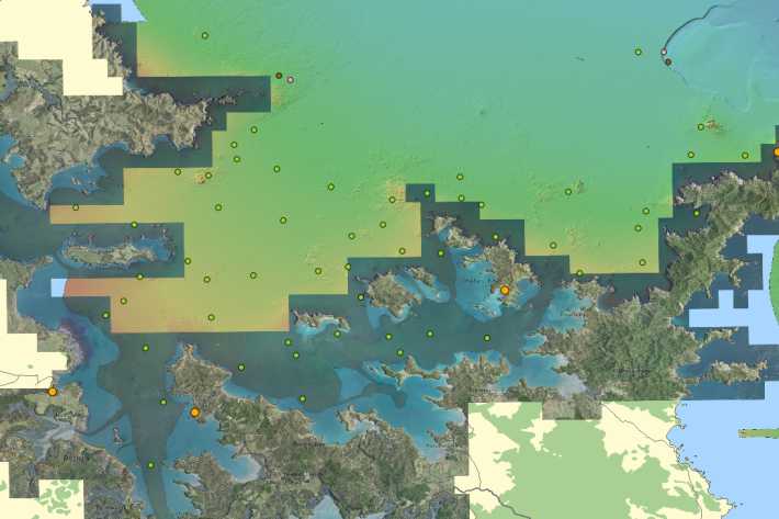
QGIS
QGIS is a free, open source, desktop mapping tool, widely used in New Zealand in government, research, commercial and NGO arenas. -
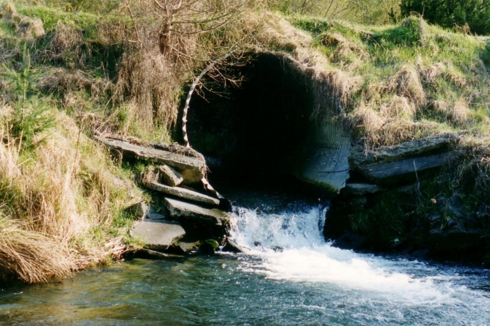
Water diversion
Diverting water away from its natural channel for commercial or private use. -

Sediment and urbanisation
How does urbanisation increase sediments in waterways? -
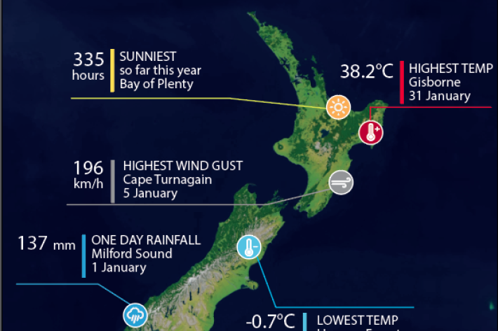
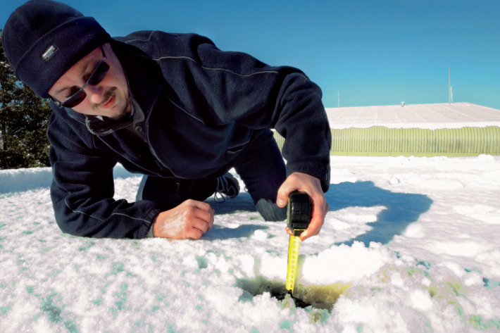
Climate data and activities
We provide an overview of New Zealand climate data for use in school projects. -
Electronic Weather Station - NIWA EWS
These gather top-quality data and are used throughout New Zealand in the National Climate Network. -
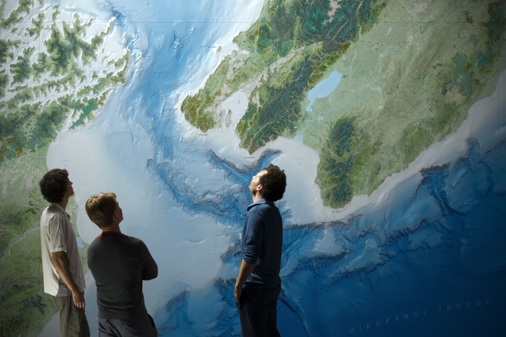
Charts
Publication seriesCharts of coastal bathymetry, sediment, and other information are available for purchase.