-
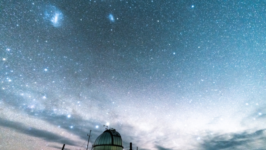
Embracing the revolution
Feature story01 February 2020Technology and Innovation General Manager, Dr Barry Biggs, looks at the impact of the fast-moving world of “tech” on NIWA’s science. -

The week it snowed everywhere
Media release21 November 2019Novel handwriting recognition project casts new light on historic weather data. -

NZWaM - Water-age model
The purpose of the water-age model is to represent water exchange between land, surface-water bodies and aquifers. -
NZWaM - Surface water flow model
This task aims to improve and enhance the accuracy of surface hydrological model discharge predictions, at both catchment and regional scales. -
NZWaM - Groundwater flow model
The role of the NZWaM groundwater model is to improve surface water model simulations, by estimating groundwater storages and groundwater fluxes. -
NZWaM - Hydro-Geofabric
The purpose of the Hydro-Geofabric task is to gather, harmonise and augment existing multi-source spatial datasets to form a framework. -
NZWaM - Benchmarking
The purpose of the benchmarking task is to develop and implement a state-of-the-art operational method (that can be applied at national scale) to test hydrological models in New Zealand -

Snow and Ice Network
Research ProjectNIWA has established a network of high elevation electronic weather stations to provide a solid basis to understand seasonal patterns and long-term changes to seasonal snow and ice in alpine regions of New Zealand. -

Daily CO2 measurements from NIWA’s atmospheric monitoring station at Baring Head
ServiceDaily CO2 measurements from NIWA’s atmospheric monitoring station at Baring Head. -
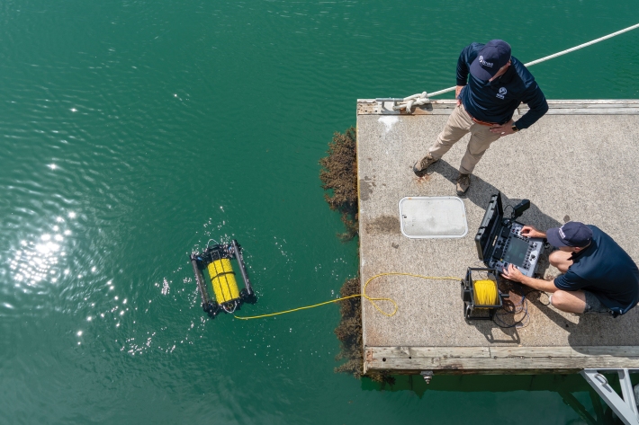
NIWA mapping Whakatipu lake floor
Media release08 May 2019NIWA researchers are out on Lake Whakatipu for the next week mapping the lake floor for the first time. -
Voyage Update 7: Heading home
13 February 2019. By Voyage Leader Dr Richard O'Driscoll. -
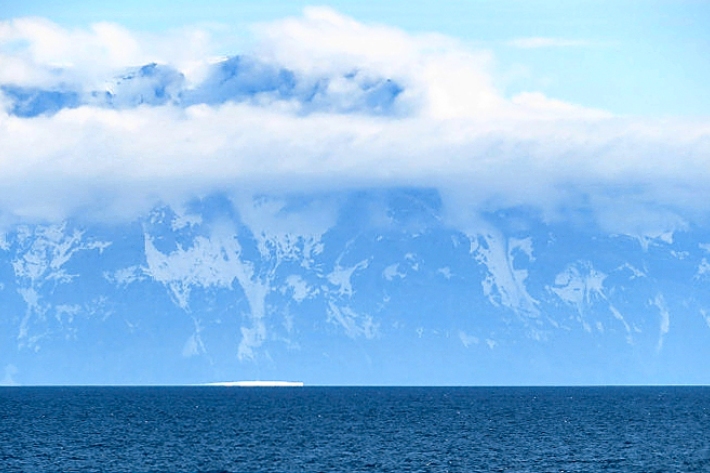
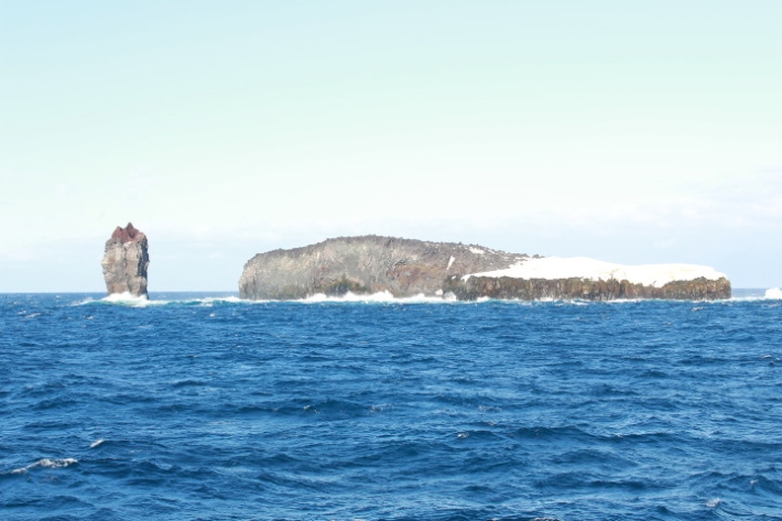
Voyage update 2: Cape Adare
17 January 2019. By Voyage Leader Dr Richard O'Driscoll.