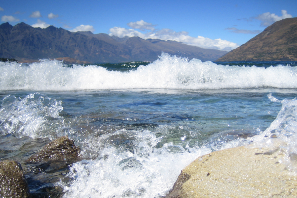
NIWA researchers are out on Lake Whakatipu for the next week mapping the lake floor for the first time.
Marine geologist Dr Joshu Mountjoy is leading the project to determine the potential for landslides and tsunami in the lake which borders tourism hotspot Queenstown nestled in steep and mountainous terrain.
The team is using advanced multibeam echo sonar equipment to map the 291 km2 lake, which is New Zealand’s longest and third largest and sits close to one of the country’s largest earthquake sources, the Alpine Fault.
Dr Mountjoy says it is important to find out what the lake floor landscape looks like and whether there any hazards that nearby communities should be aware of.
"Most people think of tsunamis as ocean-based, but they happen in lakes too. Worldwide there have been some very large lake tsunami and Whakatipu is the type of environment where these happen.
“We know that New Zealand's active and dynamic landscape can really go crazy during earthquakes, think of the landslides during the 2016 Kaikōura Earthquake, so lake tsunami hazard really needs to be better understood for the resilience of New Zealand communities and infrastructure."
Multibeam echo sounders emit a fan of sound beams to the lake floor to scan a wide section in great detail. The beams are reflected back to a receiver with the system calculating water depth from the time it takes the sound to travel to the lake floor and back to the boat. From there sophisticated software is able to produce seamless, high-quality bathymetric maps which give an unprecedent insight into the shape of the lake floor and the processes that have shaped it.
The Lake Whakatipu project follows mapping of Lake Tekapo two years ago—the first time a lake floor had been mapped in New Zealand—which revealed an unexpectedly dynamic lake bed and the potential for landslide tsunami waves up to 5 m high.
Analysis of the data will take place later this year.


