-

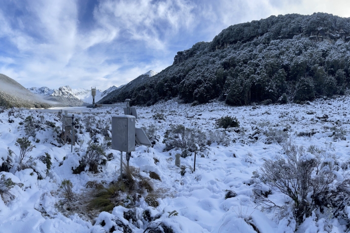
Climate Station daily/hourly data
ServiceNIWA collects daily/hourly data as part of the Climate Station Network. Parameters vary station to station. -

Climate Station raw data (10 min)
ServiceNIWA collects and generates as part of its Climate Station Network observational data in “10 min” format (data reported in 10 minute intervals). -
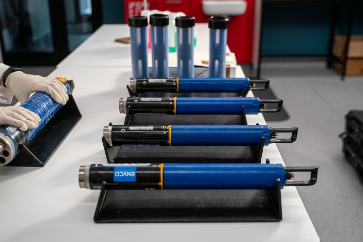
NIWA Datasonde service
ServiceMaintaining good water quality is important for healthy ecosystems and healthy humans. NIWA are experts in providing and servicing the water quality monitoring equipment you need to effectively monitor water quality in lakes, streams, coastal waters and estuaries. -

Climate stations statistics
ServiceNIWA generates ‘Statistics’ from Climate Station Observations collected as part of our Climate Station Network. -

Climate station normals
ServiceNIWA generates ‘Normals’ from Climate Station Observations collected as part of our Climate Station Network. -
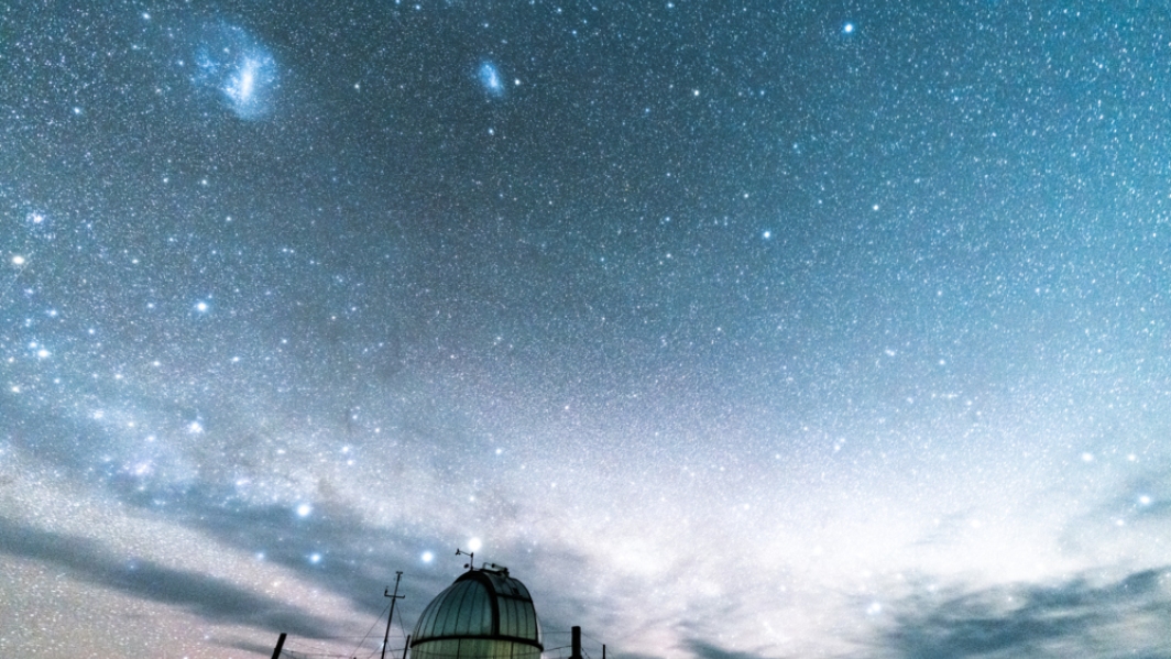
National Climate Network
ServiceSituated around New Zealand and the Pacific are climate and weather monitoring stations numbering over 1200. -

What do kittens and blue cod have in common?
Media release15 March 2024Strange fish behaviour has been captured by NIWA scientists -

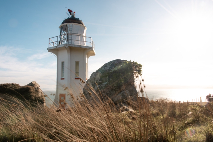
NIWA Monitoring Stations
FacilityNIWA National Environmental Monitoring Network in Aotearoa New Zealand. -
Counting carbon – NZ contributes to global CO2 stocktake
Media release27 April 2023New Zealand researchers have contributed to the first ever stocktake of global greenhouse gas emissions. -
Technology provides views of life in remote habitats
Media release25 October 2022Aotearoa-New Zealand’s marine area covers 167,650 square kilometres presenting a staggering distribution of climates, from subtropical to subantarctic waters, to understand and manage. -

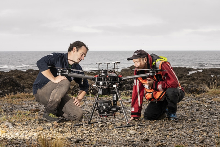
Identifying rip currents using artificial intelligence
Research ProjectNIWA and Surf Life Saving New Zealand are working together to develop a state-of-the-art, rip current identification tool. -

Voyage update - 29 April
Tangaroa is now 100 km south-west of Hunga Tonga - Hunga Ha’apai volcano (HT-HH), surveying in 2,440 m of water in the Lau Trough.