-
NIWA launches New Zealand Drought Index - a one-stop drought monitor
Media release24 March 2017A new tool to monitor drought conditions across New Zealand has been launched today by NIWA. -

NIWA completes first bathymetric mapping of Lake Tekapo
Media release17 March 2016NIWA researchers have spent part of the last month keeping a close eye on the bottom of Lake Tekapo to find out what it looks like and what is going on below the lake bed. -
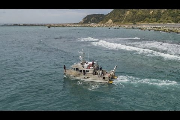
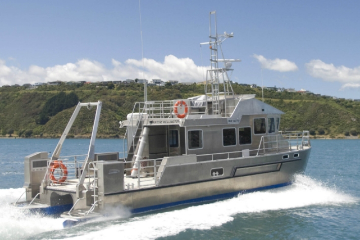
Kapiti multibeam survey
News article24 June 2015NIWA scientists use the latest multibeam echo-sounding technology to generate new charts of the seafloor around Kapiti island. -
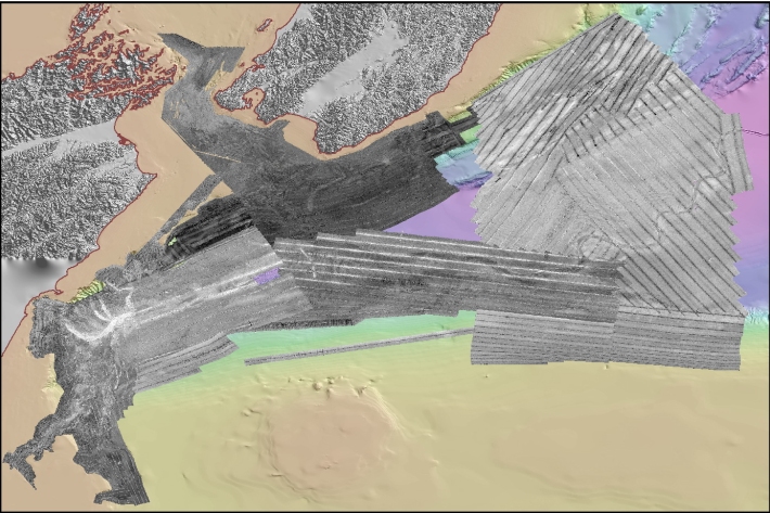
NIWA, DOC, Victoria University and LINZ collaborate to map Kapiti’s submarine landscape
Media release04 June 2015A team of marine geoscientists from New Zealand’s National Institute of Water and Atmospheric Research begins mapping the submarine landscape of Kapiti Island and Coast on Friday, 5 June. -
Backscatter Measurement Guidelines
Research ProjectMarine scientists have long recognized the potential of using remotely-sensed data, most often acquired using a sonar system, as a proxy of biophysical indicators. -
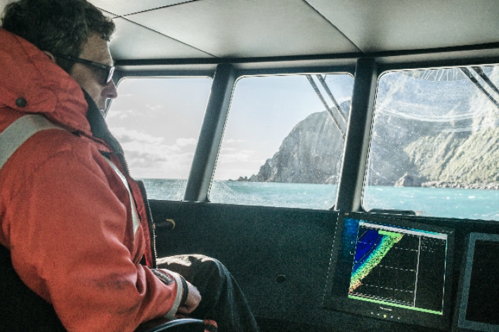
Voyage leader's final update
Blog11 March 2015Now back on dry land, Voyage Leader Richard O'Driscoll reflects on the final days of RV Tangaroa's 2015 Antarctica expedition. -

Acoustic and radio telemetry
Radio and acoustic tracking of fish (or any animal) allows the movement and activity of animals to be recorded over the life of the transmitter (battery size dependent). -

Fisheries research programmes
NIWA aims to provide the key science services required by the national and international fisheries sectors and their industry partners.