A team of marine geoscientists from New Zealand’s National Institute of Water and Atmospheric Research begins mapping the submarine landscape of Kapiti Island and Coast on Friday, 5 June.
The project is run in partnership with Victoria University of Wellington, the Department of Conservation (DOC), and Land Information New Zealand (LINZ).
Kapiti is one of the country’s most important small islands, lying 6 kilometres off the coast of the North Island Te Ika a Maui about 40 km north of Wellington. The island is an ecologically important sanctuary and gives its name to the marine reserve that straddles the Rauoterangi Channel separating the island from Waikanae Estuary Scientific Reserve. Kapiti Marine Reserve is one of DOC’s network of ten iconic coastal gems.
The waters around the 70-metre deep channel were once frequented by whales and are an important breeding area for diverse and abundant fish species and iconic invertebrates such as paua and rock lobster. But the seafloor has never been mapped using 21st century technology, so that information about the area’s seafloor morphology is outdated and likely to be inaccurate.
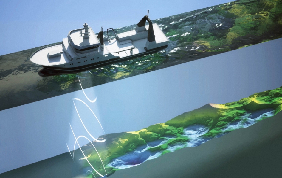
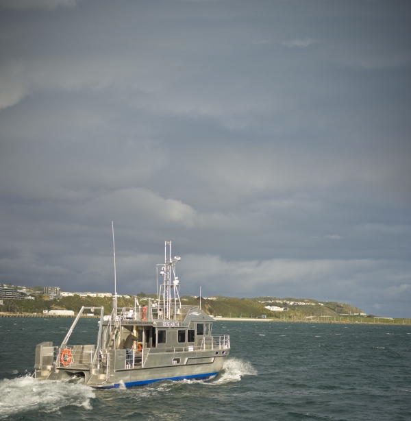
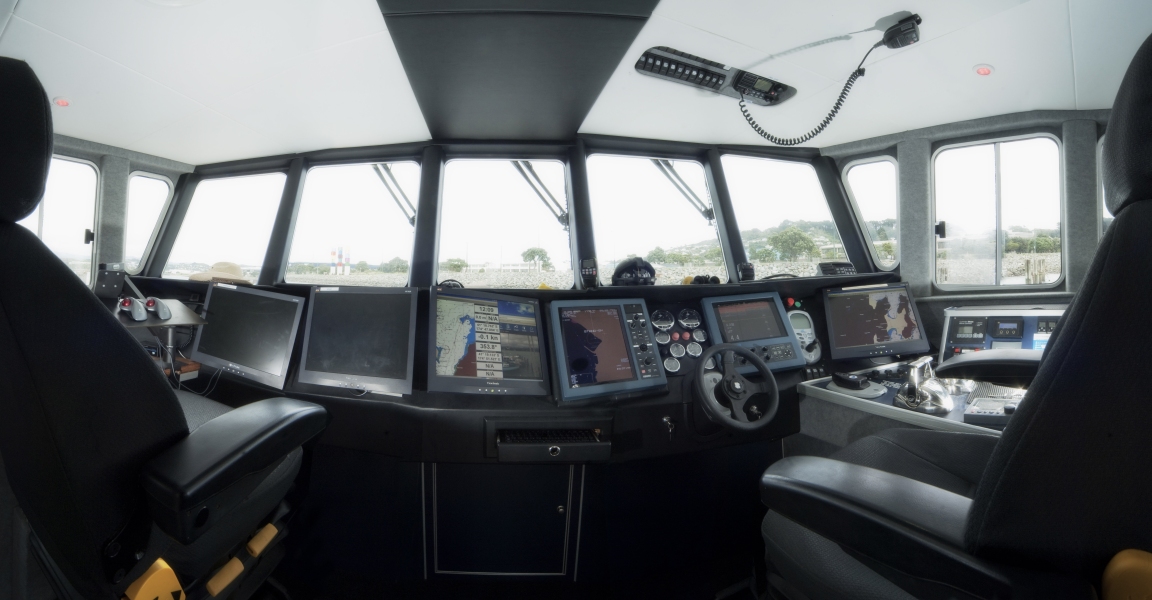
NIWA’s capability includes multibeam echo-sounding technology that will be deployed from its inshore research vessel Ikatere over the next three to five weeks. The resulting data will enable the production of highly accurate bathymetry, habitat and biotope maps of the seafloor to a depth of 50 m over an area of 50 square kilometres. Information will also be used by LINZ for the next update of the region’s navigational charts.
Additionally, data recorded throughout the full water column can be used to characterise water masses, identify gas seeps and sediment plumes, and detect schools of fish. The information is essential for informing the management of this nationally important marine area, and will contribute towards assessing the ecological integrity of Kapiti’s marine environment. The mapping project has been widely supported by stakeholders and interest groups.
Download this media release [PDF 11KB]
Related information
Read more about how NIWA maps the seafloor


