-
Real Options Analysis
Research ProjectEvaluating its strengths and limitations through two Future Coasts Aotearoa case studies -

Experience a lifetime of coastal climate change with new online game
Media release14 May 2025A new online simulation game that enables New Zealanders to experience a climate-changed future and explore choices has been launched. -

Future Coasts Aotearoa serious game
NIWA has developed an adaptation simulation game - Future Coasts Aotearoa - created to discover people’s behaviours and preferences on sea-level rise adaptation. -

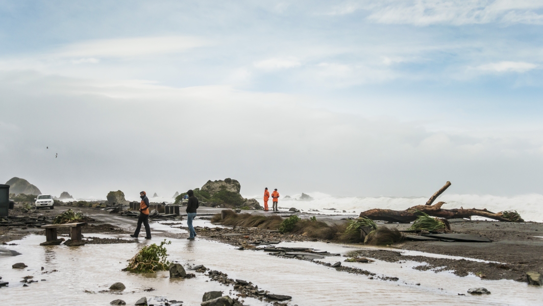
Underwater canyon seafloor study reveals landslide and tsunami risk
Media release04 March 2025The risk of undersea landslides and their potential to cause tsunamis along New Zealand’s east coast is being investigated by scientists aboard the German research vessel RV Sonne as part of a month-long international collaboration. -

Research outputs
Research projects carried out under the Future Coasts programme -

Potential adaptation options
Research ProjectSee reports produced to guide potential adaptation strategies in the Lower Waikato region. -

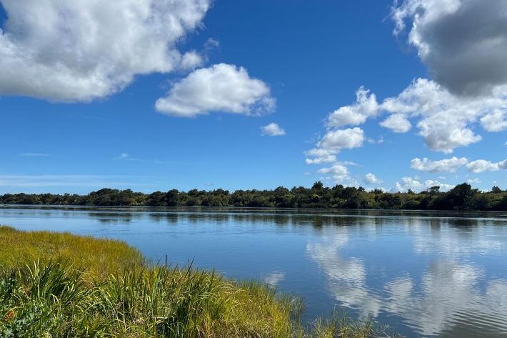
Causal diagrams to help understand wellbeing in Te Puuaha| The Lower Waikato River
Research ProjectThe Te Puuaha case study uses causal diagrams to show how sea level rise impacts whaanau wellbeing, helping identify areas for action. -

Storm-tide red-alert days 2025
ServiceStorm-tide red alerts mark the highest king tides, crucial for emergency and coastal hazard managers to monitor. -

Future Coasts multi-hazards game
Research ProjectA serious game simulating a coastal lowland scenario under climate change to support adaptation decision-making and community engagement. -
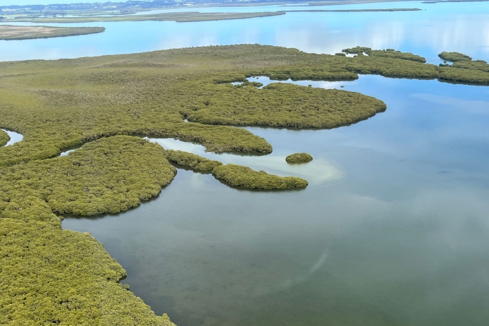
Mapping Elevation Capital
Research ProjectMapping migration space for coastal habitats under sea-level-rise -
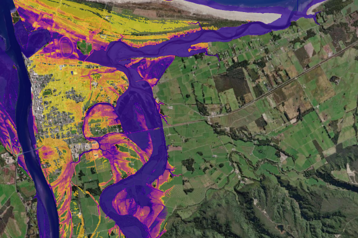
AI flood maps: forecasting where and when, in real-time
Research ProjectFloods are New Zealand’s most frequent and costly natural disaster. Fast and accurate forecasting of flood impacts is crucial for reducing the risk to life, property, and infrastructure. -
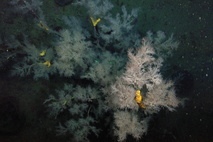
Seafloor impacts of Cyclone Gabrielle revealed
Media release08 May 2024Scientists have found evidence of sediment impacts on seafloor ecosystems following Cyclone Gabrielle.