-

New Zealand's Marine Realm
News article06 June 2017NIWA has transformed 1.5 million square kilometres of data into the most accurate and detailed map yet of the land underneath the sea around New Zealand. -
Summer Series 6: Nippy creatures that share your swim
News article06 June 2017 -

Submerged plants as bio-indicators
Submerged plants have a number of advantages that favour their use as indicators of lake ecological condition. -
Tsunami
Education ResourceTsunami is a Japanese word meaning great wave in harbour. -
Identification guides
Useful information and resources on New Zealand's marine flora and invertebrate fauna. -
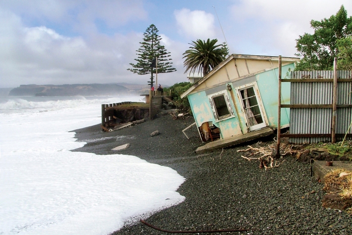
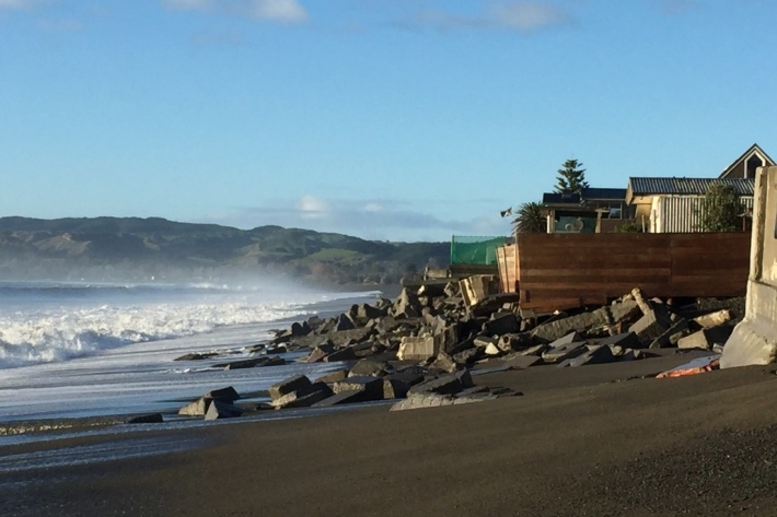
Sea-level rise
Education ResourceOne of the major consequences of climate change is rising global sea levels. -
Sea level observations (near real-time)
ServiceThis system combines daily sea-level data from NIWA, regional councils, port companies, Antarctica NZ, Bureau of Meteorology and territorial authorities. -
Summer Series Week 4: Know your shells
News article06 June 2017If you're collecting sea shells at the beach this summer and wondering what they are, NIWA is here to help. -
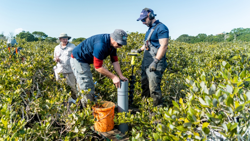
What ails our estuaries - problems and solutions
Estuaries are at the bottom of the freshwater drainage network and, effectively, are a part of it. -
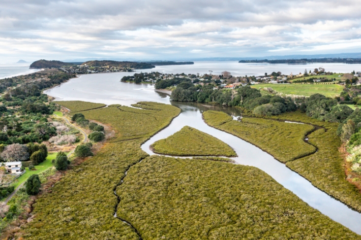
Estuaries
Education ResourceAn estuary is a partially enclosed body of water formed where freshwater from the land meets and mixes with saltwater from the ocean.