-
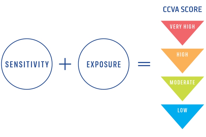
Climate Change Vulnerability Assessment (CCVA)
ServiceTo prepare for changes in climate, our freshwater and oceans decision-makers need information on species vulnerability to climate change. -

Kōaro
Kōaro are excellent climbers and like clear, swiftly flowing, forested streams. -
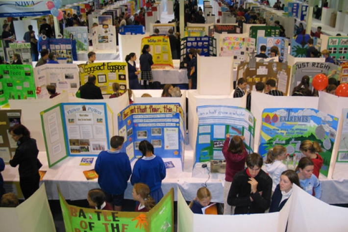
Working with schools
We sponsor regional science and technology fairs around New Zealand and support learning programmes that bring science into the classroom. -
Map I South
Education ResourceThe climate of this zone is largely dependent on the lie of the Southern Alps to the west, but many areas are also sheltered by high country to the south and east. -
QGIS
QGIS is a free, open source, desktop mapping tool, widely used in New Zealand in government, research, commercial and NGO arenas. -
Extreme weather - winds and tornadoes
Education ResourceDue to its position in the 'Roaring Forties', a belt of strong winds in the Southern Hemisphere which generally occur between the latitudes of 40 and 49 degrees, as well as its small size, New Zealand is a windy country. -
Population modelling software
Casal2 is an advanced software package developed by NIWA for modelling the population dynamics of marine species. -
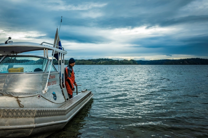
Other vessels
FacilityNIWA operates about 30 other Maritime New Zealand-certified vessels based at Bream Bay, Auckland, Hamilton, Rotorua, Turangi, Wellington, Nelson, Greymouth, Tekapo, Christchurch, and Dunedin. -
Water temperature and hydro
How do hydro-electricity activities potentially influence waterway temperatures? -
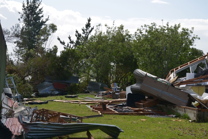
Floods
Education ResourceRiver floods occur when water spills from a river channel onto land that is normally dry, and are one of New Zealand's costliest natural hazards.