-

Meteorologist for a day
Within a range of meaningful contexts students will be able to make statements about implications and possible actions consistent with the results of a statistical investigation and to find and authenticate data measures such as mean, median, mode, inter-quartile range, and range. -
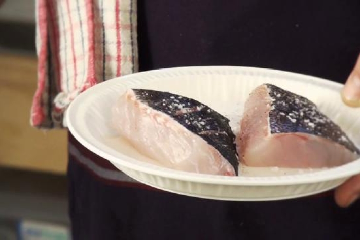
Mussels: more, fresher, better
Feature story06 June 2017The seafood counter at your local supermarket has changed. -
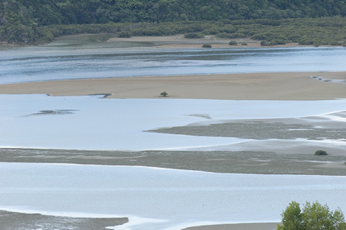
Estuary origins
In comparison to the vast span of geological time, the estuaries that we see today are very recent coastal features. -
Further reading
References, further reading, and links to useful websites. -
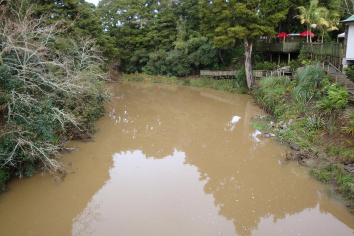
Sediment
When soils erode, sediments are washed into waterways. -
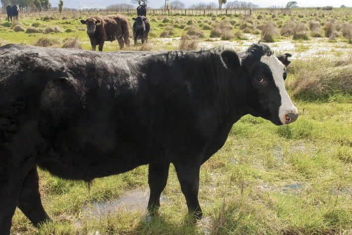
Riparian vegetation and agriculture
How may agricultural activities impact riparian vegetation around a waterway? -
What are ppm and ppb?
PPM and PPB are units used in atmospheric chemistry to describe the concentration of gases. -
New Zealand's Marine Realm
News article06 June 2017NIWA has transformed 1.5 million square kilometres of data into the most accurate and detailed map yet of the land underneath the sea around New Zealand. -
Map W South
Education ResourceThe climate of this area is greatly dependent on its exposure to weather systems from the Tasman Sea and the lie of the Southern Alps to the east.