-
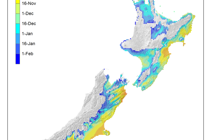
Average soil moisture deficit onset and termination maps
Maps of the average first and last dates of soil moisture deficit are shown here. -
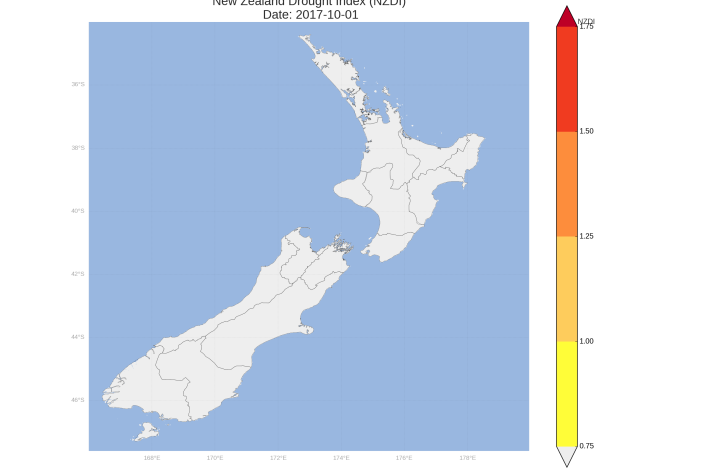
New Zealand Drought Monitor
ServiceThe New Zealand Drought Monitor is a system for keeping track of drought conditions across New Zealand based on a standardised climate index. -
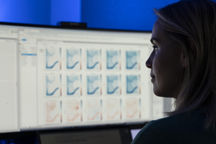
Charts
Publication seriesCharts of coastal bathymetry, sediment, and other information are available for purchase. -

CASAL
CASAL is an advanced software package developed by NIWA for fish stock assessment. -

Our mission
NIWA's mission is to conduct leading environmental science to enable the sustainable management of natural resources for New Zealand and the planet. -
Mean monthly temperatures (°C)
These datasets are available in a range of formats. -
Assessment of crop and tree species growing potential using climate, soil and topographic information
Research ProjectThis project demonstrates how to assess high value alternative land-use options by means of a quantitative analysis of the growing potential of selected niche crops and tree species. -
Scholarships
Scholarships available to both Masters and undergraduate students in the fields of fisheries science and marine biology. -
Daily climate maps
These climate maps are updated daily and are based on data from our National Climate Database. -
Piharau
Piharau/kanakana are an important mahinga kai species and a prized delicacy for many Māori. -
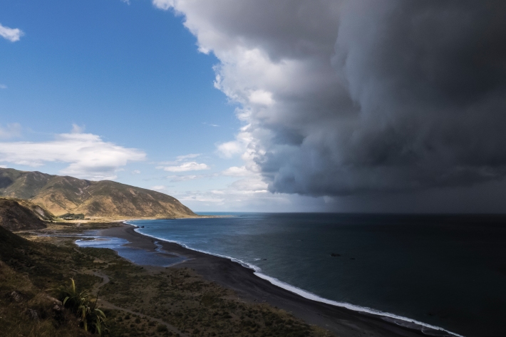
Map South
Education ResourceMost of this climate zone is characterised by cool coastal breezes, and absence of shelter from the unsettled weather that moves over the sea from the south and southwest.