-

Map N South
Education ResourceAs much of this climate zone is sheltered by high country to the west, south and in some areas to the east, it is the sunniest region of New Zealand. -

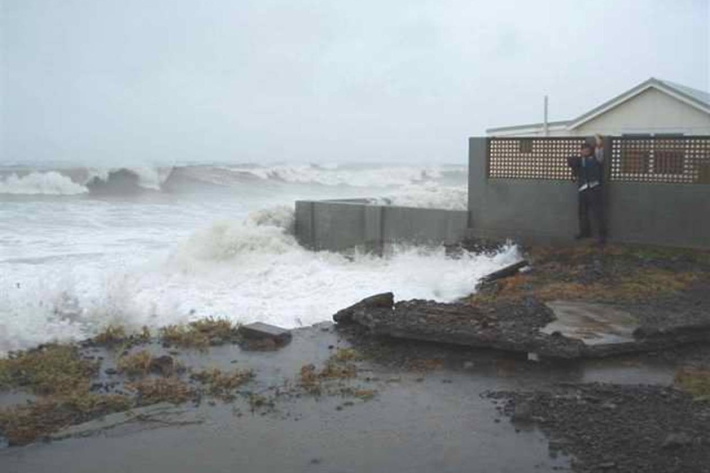
Wave hazard research
Research ProjectNIWA collects wave data, develops and verifies wave forecasting systems, and is developing and producing wave projections. -
Planning for coastal adaptation
ServiceCoastal risk exposure for New Zealand, adaptation guidance for local government and relevant summaries of previous court cases and Building Act 2004 determinations. -
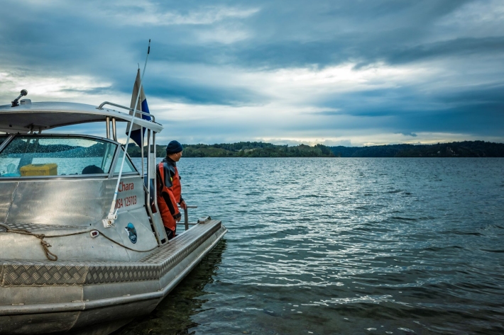
Other vessels
FacilityNIWA operates about 30 other Maritime New Zealand-certified vessels based at Bream Bay, Auckland, Hamilton, Rotorua, Turangi, Wellington, Nelson, Greymouth, Tekapo, Christchurch, and Dunedin. -
Water temperature and hydro
How do hydro-electricity activities potentially influence waterway temperatures? -
NZ from Space - About
AQUA and TERRA are polar orbiting satellites that both pass over New Zealand twice per day. -
How deep is the snow at your place?
Measurements of snowfall at low elevations around New Zealand are few and far between, and yet the data would be really helpful in understanding how snowfall occurs and quantifying snow-related risks. -
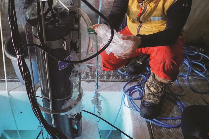
Coldest seawater discovered
Feature story06 June 2017The coldest seawater on earth could help scientists understand why Antarctic sea ice is growing in a warming world -
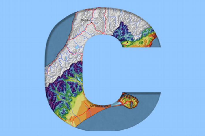
Canterbury
All aspects of the climate of Canterbury are dominated by the influence of the Southern Alps on the prevailing westerly airflows. -
Causes of sedimentation
What are the potential sources of sediments from land use activities? -
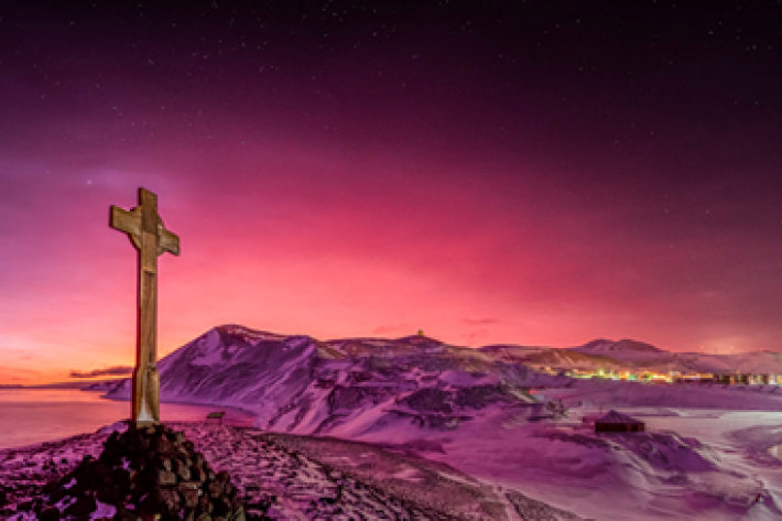
Tonga volcano “afterglow” causes dazzling skies in Antarctica
Media release06 June 2017Antarctica is experiencing stunning skyscapes like those recently seen in New Zealand, thanks to the afterglow effect from the Tongan volcano. -
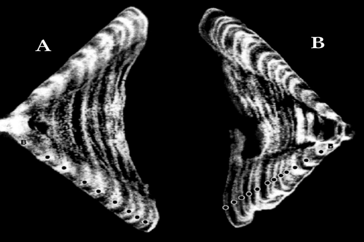
Determining the age of fish
Research ProjectNIWA expends considerable effort on determining the age of commercial fish species. But why age a fish? And how do we do it?