-

Mahinga kai and migration
A high proportion of New Zealand’s native freshwater fish fauna need to migrate to and from the sea. -
Station details
Station height is in metres above mean sea level. Years of data are the number of complete years of data for the 1981 – 2010 period. -
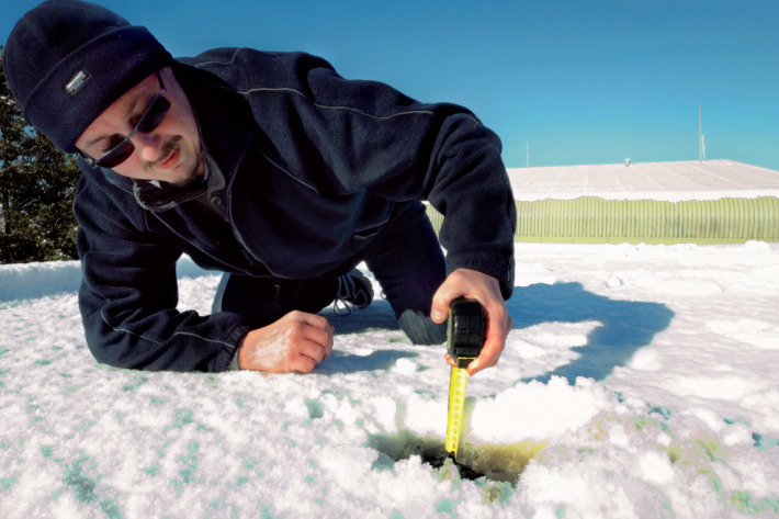
Map Alpine
Education ResourceMountainous areas are subject to heavy snowfalls, high winds, and low temperatures. Semi-permanent snow and ice fields exist at about 1000-1100 metres during winter. -
Real-time UV Index displays
NIWA has developed a real time UV display in consultation with the Cancer Society and Sunsmart. -
Lesson 9: Ngā Tohu o te Taiao – Māori environmental indicators
Education ResourceThis lesson will explore the use of Māori environmental indicators [tohu] to anticipate local weather and climate conditions. -
Tuna - commercial fisheries
Commercial eel fishery in New Zealand began in earnest in the 1960s and expanded rapidly until the early 1970s -
Ideas for projects using climate data
Education ResourceIdeas for projects using climate data -
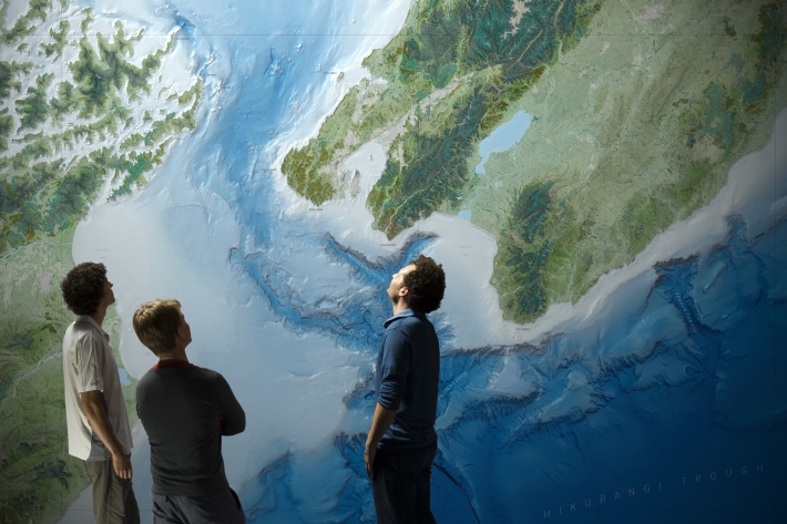
Charts
Publication seriesCharts of coastal bathymetry, sediment, and other information are available for purchase. -
Biological limitations
Identifying biological factors that may be limiting fish numbers requires sampling to ensure that key invertebrate prey species are not scarce and that pest fish, especially predators, are not abundant. -

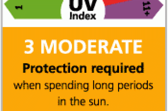
Atmospheric ozone, ultraviolet radiation, and stratospheric change
Research ProjectCFCs have damaged the ozone layer and led to higher UV levels and increased health risks. Our role is to understand the causes and effects of ozone depletion, to inform the public of the risk. -
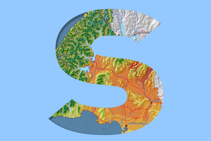
Southland
Southland is both the most southerly and most westerly part of New Zealand and generally is the first to be influenced by weather systems moving onto the country from the west or south.