-
Library
ServiceThe NIWA library collection contains items in a range of formats, covering subjects including atmospheric and climate research, aquaculture, oceanography, fisheries and marine sciences. -

Mean monthly sunshine (hours)
These datasets are available in a range of formats. -
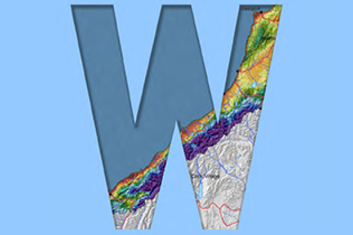
Map E North
Education ResourceSheltered by high country to the west, the eastern zone of the North Island enjoys a dry, sunny climate. -
Droughts
Generally speaking, a drought is defined as a rainfall deficit which restricts or prevents a human activity – for example, farming or power generation. -
West Coast
West Coast is New Zealand’s wettest region, and this may be attributed to its exposure to the predominant westerly airflow over the country, combined with the orographic effect of the Southern Alps. -
New Zealand's Marine Realm
News article06 June 2017NIWA has transformed 1.5 million square kilometres of data into the most accurate and detailed map yet of the land underneath the sea around New Zealand. -
Overview of SHMAK
An overview of what the SHMAK kit comprises, and various uses for it. -
Tuna - habitat
Tuna are found in all sorts of habitats (places), including coastal estuaries, lakes, wetlands, rivers, mountain streams and even alpine tarns. -

NIWA Instrument Systems
Instrument Systems is a specialised technology-focused consulting group within NIWA. -
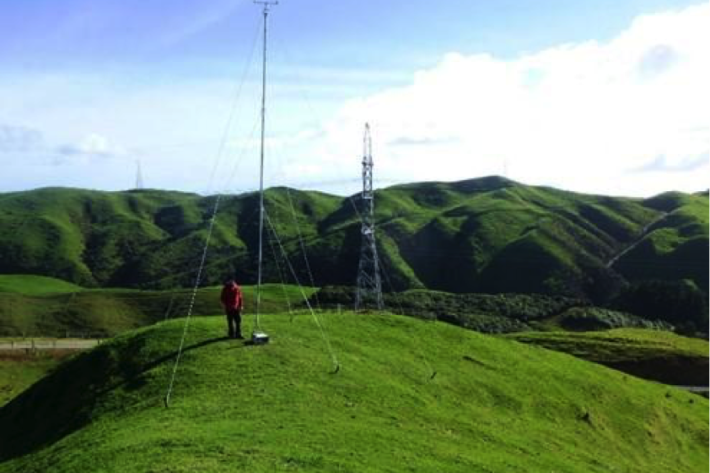
Estimating design wind speeds in complex terrain
Research ProjectThe current method for calculating wind speed-up is inadequate, and can grossly under-predict correct design wind speeds in NZ's complex terrain.