-
Blogs
Follow NIWA's scientists as they explore the natural world, make new discoveries and share how people use their science. -
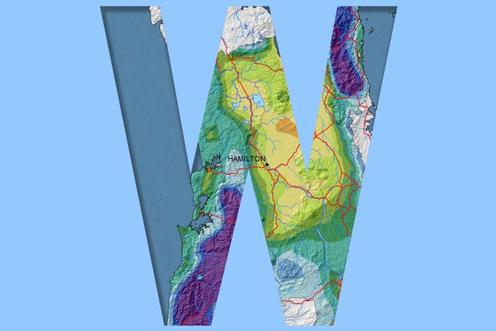
Waikato
Waikato exhibits a range of climates due to the variety of landscapes in the region. -
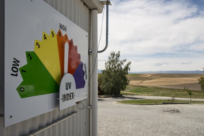
UV Index Information
Education ResourceThe UV Index is a measure of the intensity of UV radiation. The UV Index supersedes the idea of "Time to Burn" or "Burn Time", which has been used previously in New Zealand. -

Suspended-sediment yield estimator
This national GIS ‘layer’ enables reconnaissance-scale estimation of suspended-sediment yields from New Zealand’s rivers and streams. It has been developed by NIWA in collaboration with Landcare Research. -
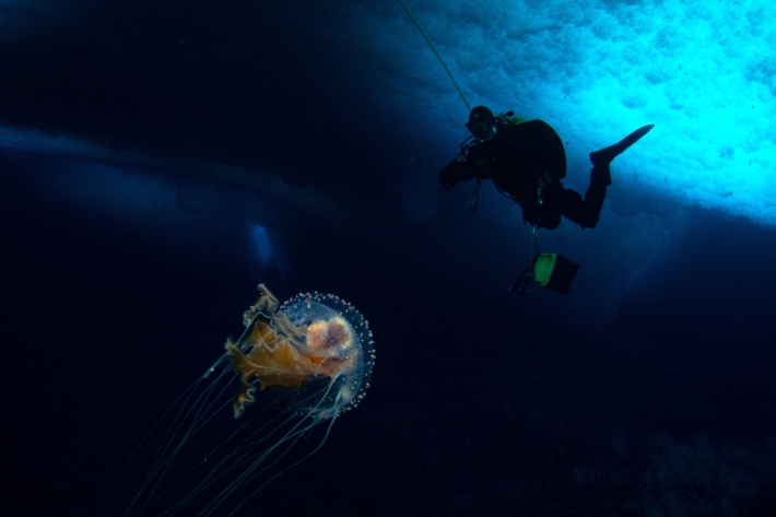
What ails our estuaries - problems and solutions
Estuaries are at the bottom of the freshwater drainage network and, effectively, are a part of it. -
Kōura
There are two species of kōura or freshwater crayfish in Aotearoa. -
Infectious substances
Waterways can easily become contaminated by pathogens when effluent is discharged nearby. -
Statement of Core Purpose
The Statement of Core Purpose spells out why the Government owns Crown Research Institutes and what it expects from them. -
Tsunami
Education ResourceTsunami is a Japanese word meaning great wave in harbour. -
Map N South
Education ResourceAs much of this climate zone is sheltered by high country to the west, south and in some areas to the east, it is the sunniest region of New Zealand. -
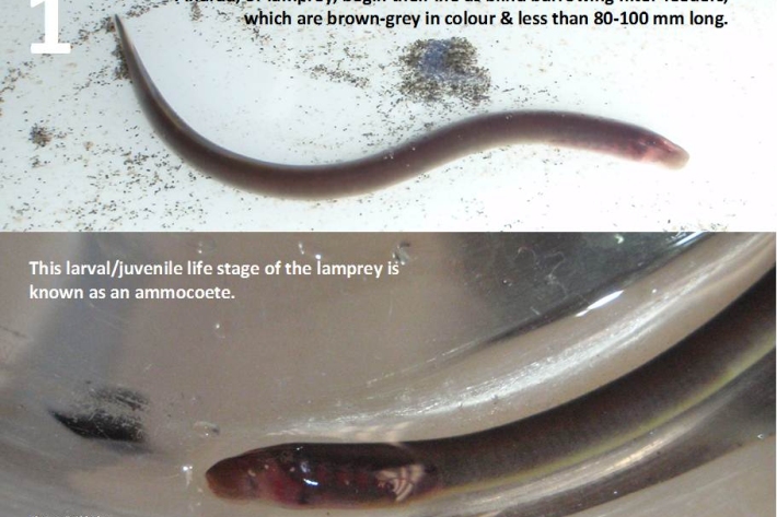
Restoration and enhancement of piharau / kanakana / lamprey
Research ProjectNIWA is leading a new six-year research project that seeks to increase our understanding of piharau/kanakana/lamprey, using Mātauranga Māori, social science and biophysical science approaches.