-
Analysis of water quality trends
NIWA has developed a powerful software tool for the analysis of water quality data. -

Software tools
NIWA develops and supplies custom software for environmental analysis and modelling. -
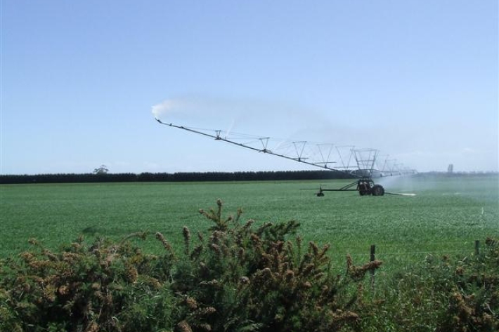
Water abstraction and agriculture
How do agricultural activities potentially influence water flows? -
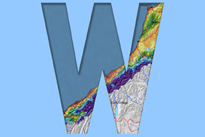
Map North
Education ResourceThis is a sub-tropical climate zone, with warm humid summers and mild winters. -
Tuna - customary fisheries
Māori have an extensive knowledge of the ecology of freshwater eels, and have maintained their customary fisheries for several centuries. -
Exploration sector
Hydrocarbons, although requiring increasingly responsible use, are still an essential part of our modern economy. NIWA has provided survey and consultancy services related to the exploration of offshore mineral resources for thirty years. -

LakeSPI: Keeping tabs on lake health
Software Tool/ResourceThe condition of many NZ lakes is under threat from land-use changes and the invasion of alien aquatic plants. -
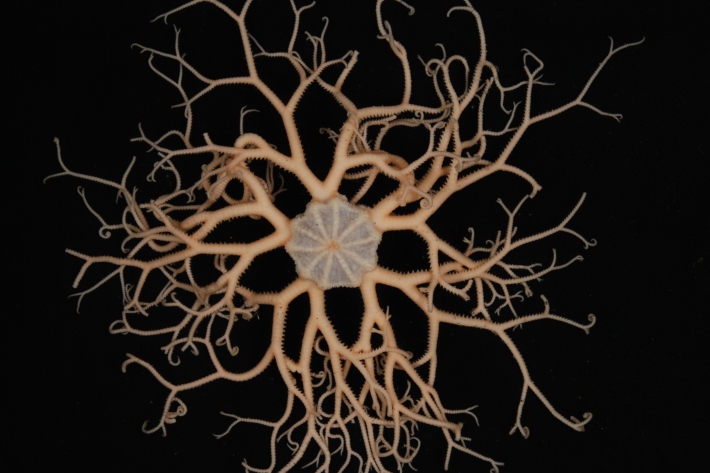
Critter of the Week: The Gorgon’s Head - Gorgonocephalus
A basket star was the first reported animal trawled up from the deep sea back in the early 1800s so they have a spot in the history books of deep ocean exploration. -
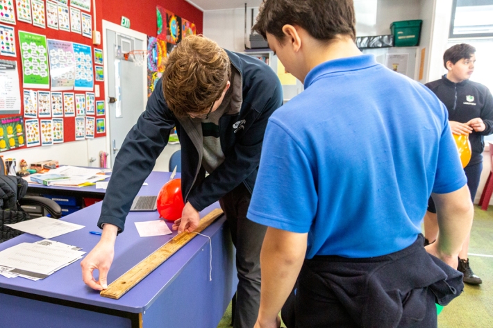
Resources for teachers
NIWA's educational resources and scientific data are tools for young people to learn about science. -

Freshwater fish species list
A list all of New Zealand's freshwater fish species. -
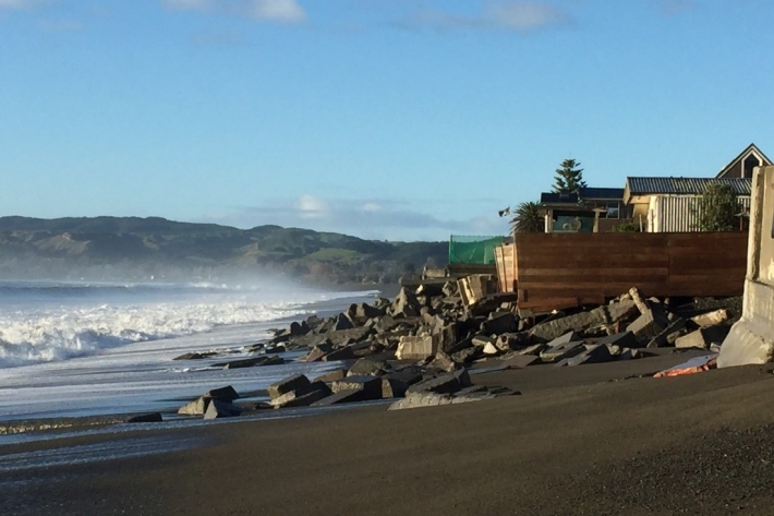
West Coast
West Coast is New Zealand’s wettest region, and this may be attributed to its exposure to the predominant westerly airflow over the country, combined with the orographic effect of the Southern Alps. -
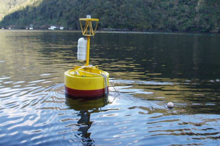
Sea level observations (near real-time)
ServiceThis system combines daily sea-level data from NIWA, regional councils, port companies, Antarctica NZ, Bureau of Meteorology and territorial authorities.