-
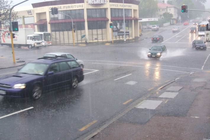
Stormwater - an introduction
Stormwater poses risks to NZ’s urban streams & coastal waters, affecting ecological health & the cultural, social, & economic value of these environments. -
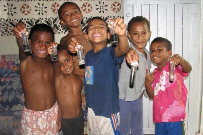
Development of sustainable water supply and treatment systems for a coastal Fijian village
Research ProjectThis collaborative NZaid project worked with coastal Fijian villagers at Votua on the Coral Coast of Viti Levu to develop pragmatic water supply and waste treatment solutions to protect public health and reduce contamination of coastal waters. -
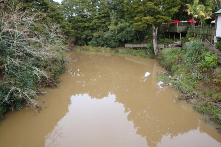
Sediment
When soils erode, sediments are washed into waterways. -
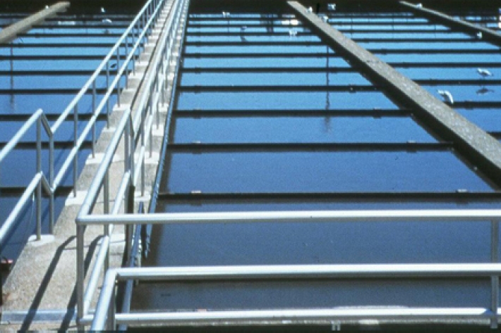
Wastewater Treatment
Wastewater treatment is the separation and extraction of solid waste from liquid waste, and the removal of nutrients and pathogens. -

LakeSPI: Keeping tabs on lake health
Software Tool/ResourceThe condition of many NZ lakes is under threat from land-use changes and the invasion of alien aquatic plants. -

Freshwater databases online
More information about our online freshwater databases. -
Tau kōura sample collection and processing protocol
Tau kōura is a traditional Māori fishing method commonly used to harvest kōura or freshwater crayfish in areas where they are abundant. -
Banded kōkopu
Banded kōkopu juveniles are very good climbers and will try to escape from buckets by clinging to and wriggling up the sides. -
Shortjaw kōkopu
Has a receding lower jaw and black spots behind the head. -
Wastewater treatment activities
Rural, urban, and suburban wastewater treatment methods. -
Sediment and mining
How can mining activities influence sediments in waterways?