-

Water resources and mining
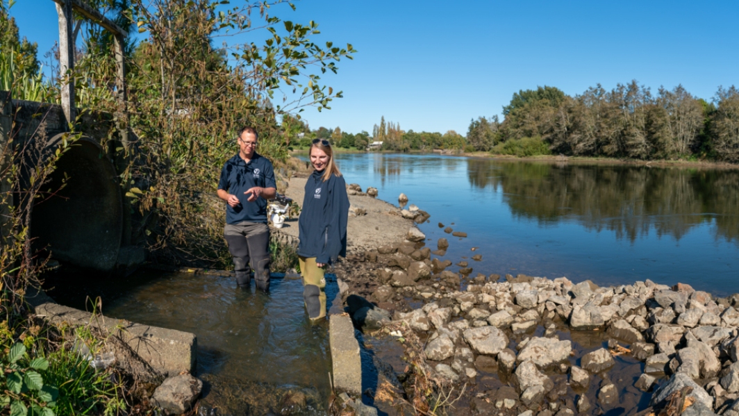
How may the activities of the mining industry influence water resources? -
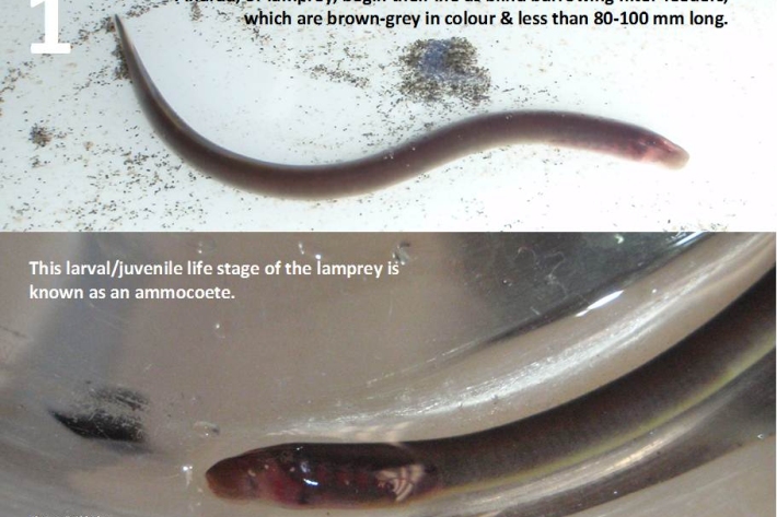
Restoration and enhancement of piharau / kanakana / lamprey
Research ProjectNIWA is leading a new six-year research project that seeks to increase our understanding of piharau/kanakana/lamprey, using Mātauranga Māori, social science and biophysical science approaches. -

Submerged plants as bio-indicators
Submerged plants have a number of advantages that favour their use as indicators of lake ecological condition. -

Resources and References
Links to related resources and websites -
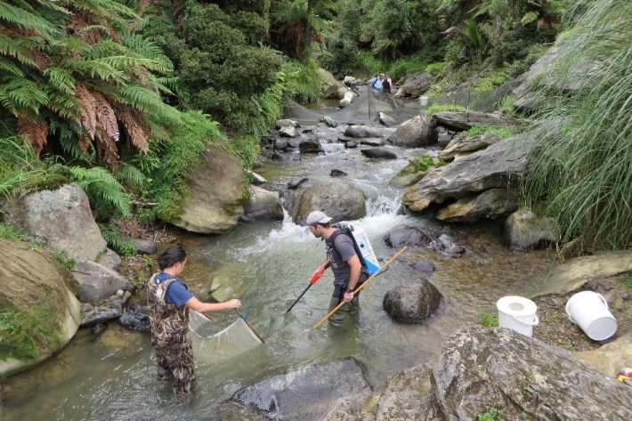
Guidelines for sampling freshwater fisheries
We have prepared a breakdown of the different guidelines that are available for sampling freshwater fisheries. The overview provides links to key documents that explain what should be considered when designing fish monitoring studies and how to implement the various sampling techniques. -
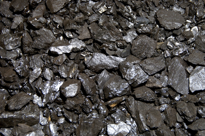
Mining
Mining is the extraction of metal and mineral resources, such as gold, coal, petroleum, and ironsand -

Impacts of water dams
What are the impacts of water dams on water quality and mahinga kai? -
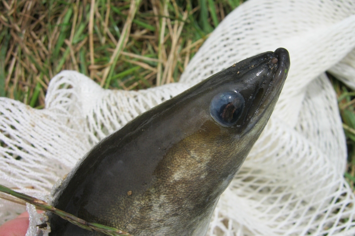
Tuna information resource
Tuna, or freshwater eels, are the most widespread freshwater fish in New Zealand. This 'living' educational resource summarises a large amount of scientific and technical literature. -

Overview of SHMAK
An overview of what the SHMAK kit comprises, and various uses for it. -
Pulp and paper
Wood chips and plant material make pulp that is used to produce paper products. -

Water Quality Monitoring Capabilities
Research ProjectNIWA provides national capabilities in Water Quality Monitoring.

