-
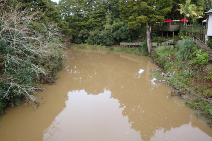
Sediment
When soils erode, sediments are washed into waterways. -
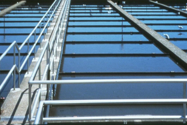
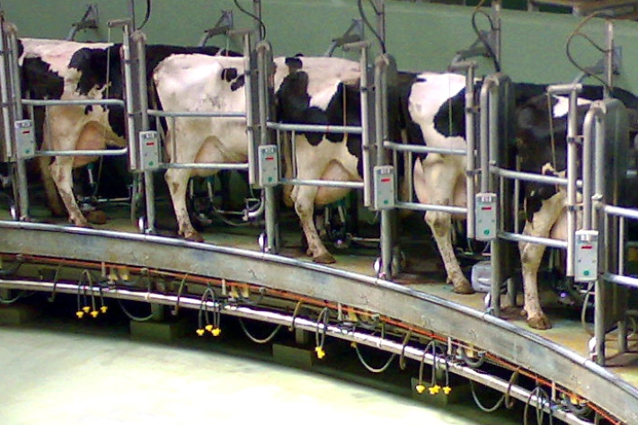
Wastewater Treatment
Wastewater treatment is the separation and extraction of solid waste from liquid waste, and the removal of nutrients and pathogens. -

LakeSPI: Keeping tabs on lake health
Software Tool/ResourceThe condition of many NZ lakes is under threat from land-use changes and the invasion of alien aquatic plants. -

Tau kōura sample collection and processing protocol
Tau kōura is a traditional Māori fishing method commonly used to harvest kōura or freshwater crayfish in areas where they are abundant. -
Banded kōkopu
Banded kōkopu juveniles are very good climbers and will try to escape from buckets by clinging to and wriggling up the sides. -
Shortjaw kōkopu
Has a receding lower jaw and black spots behind the head. -
Wastewater treatment activities
Rural, urban, and suburban wastewater treatment methods. -
Sediment and mining
How can mining activities influence sediments in waterways? -
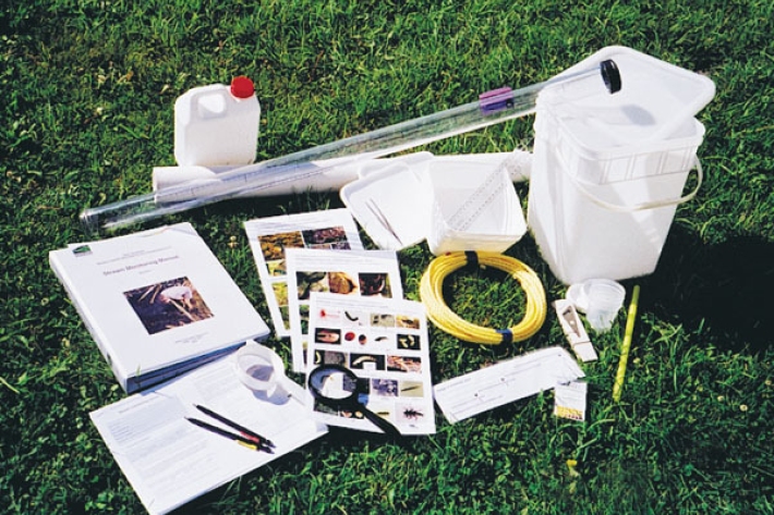
Stream Health Monitoring and Assessment Kit
ServiceHow healthy is your stream? SHMAK - the New Zealand Stream Health Monitoring and Assessment Kit - has been designed to help you find out. -
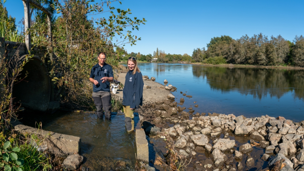
Water diversion
Diverting water away from its natural channel for commercial or private use. -
Freshwater databases online
More information about our online freshwater databases.