-

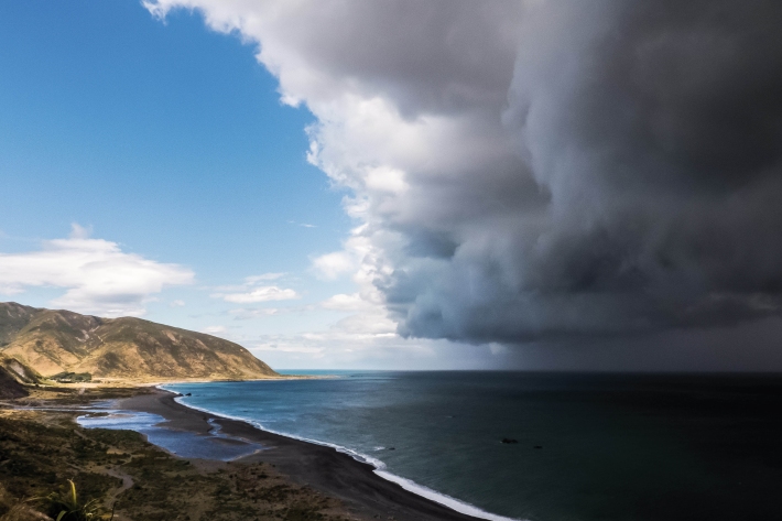
Summer Series 8: The forces behind beach ‘foam’
News article06 June 2017 -
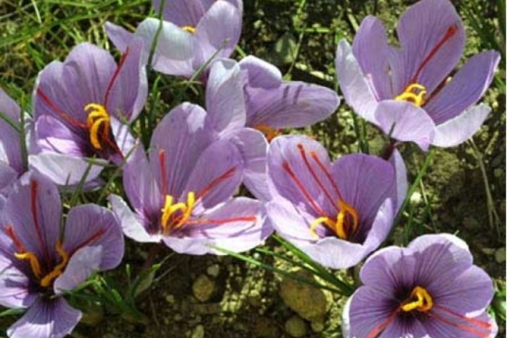
Assessment of crop and tree species growing potential using climate, soil and topographic information
Research ProjectThis project demonstrates how to assess high value alternative land-use options by means of a quantitative analysis of the growing potential of selected niche crops and tree species. -
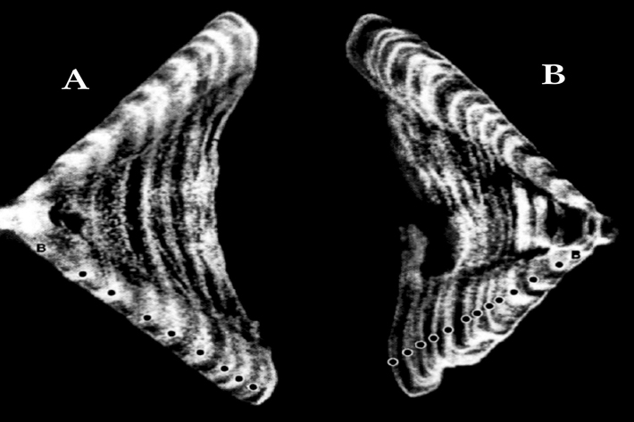
Determining the age of fish
Research ProjectNIWA expends considerable effort on determining the age of commercial fish species. But why age a fish? And how do we do it? -
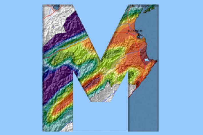
Map Sw North
Education ResourceBecause of its exposure to disturbed weather systems from the Tasman Sea, this climate zone is often quite windy, but has few climate extremes. -
Population modelling software
Casal2 is an advanced software package developed by NIWA for modelling the population dynamics of marine species. -
Mitigation and best practice options
Here are some simple steps to minimise the effects of dairying on water quality and mahinga kai. -
Urbanisation activities
Urbanisation has changed the face of many waterways that flow through urban areas -
Floods
Education ResourceRiver floods occur when water spills from a river channel onto land that is normally dry, and are one of New Zealand's costliest natural hazards. -
Common climate and weather terms
Education ResourceA glossary of common climate change and meteorological terms. -
Water Level Instruments
There are different types of instrument available for measuring water level. -
Marlborough
The main characteristic of the Marlborough climate is its dryness. Summer droughts are frequent, and the region is often swept by warm, dry northwesterlies. -
Water Quality Monitoring Capabilities
Research ProjectNIWA provides national capabilities in Water Quality Monitoring.