-
What is the proposed activity or industry?
Various industries and land use activities have the potential to impact on water quality and mahinga kai unless properly managed. -
The process
The process of coming to work with us has five steps: applying, a phone interview, a face to face interview, background checks, and an offer. -

Q&A - Bloomin' algae!
Feature story06 June 2017A hot and steamy summer saw Kiwis heading down to rivers and lakes to cool off. But they weren’t the only ones enjoying the warmer weather – algae had a great time too. -
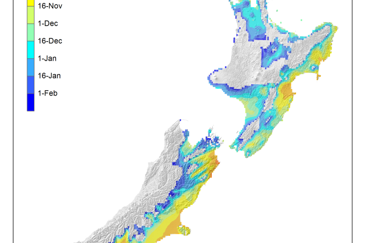
Average soil moisture deficit onset and termination maps
Maps of the average first and last dates of soil moisture deficit are shown here. -
Air quality monitoring with low-cost sensors
ServiceNIWA provides ambient air quality monitoring services using low-cost ODIN (Outdoor Dust Information Node) sensors. -
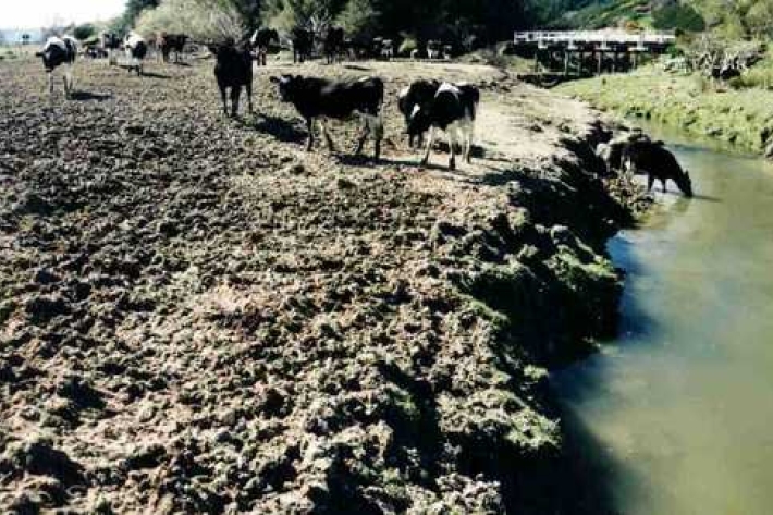
Loss of riparian vegetation
Plants and trees along the water margins and banks are called riparian vegetation. -
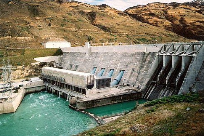
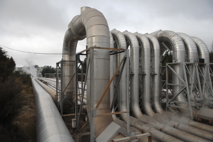
Hydro
Hydro-electricity is a renewable energy source that relies on the inflow of water into storage lakes upstream of a dam. -

Mean daily maximum temperatures (°C)
These datasets are available in a range of formats. -
Trawl fisheries bycatch
Accurate reporting on the amount of fish and invertebrates that are caught and discarded by New Zealand’s commercial fishing industry is vital to effective management of these fisheries. -
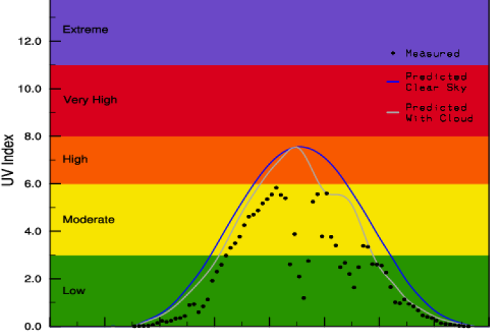
Yesterday's UV Index
Plots of UV levels throughout the day at different locations.