-
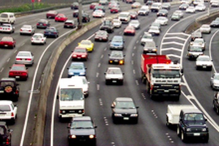
Urbanisation
Aotearoa’s main urban areas cover approximately 2% of total available land. -

Tuna - commercial fisheries
Commercial eel fishery in New Zealand began in earnest in the 1960s and expanded rapidly until the early 1970s -
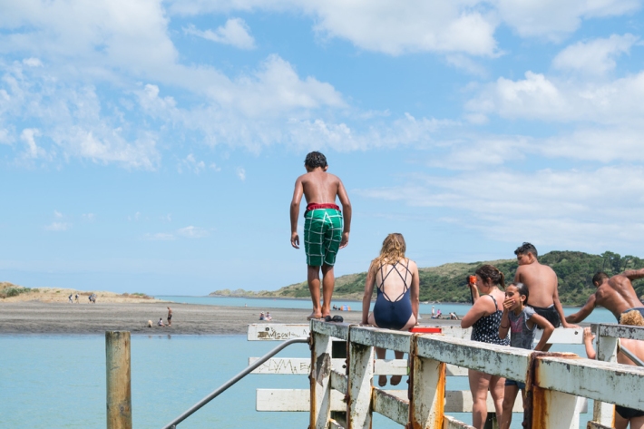
Education and information
Education ResourceExplore our education and information section to find out about climate and climate change, weather, our atmosphere, estuaries and more. -

Wood processing
Trees are grown and converted into a range of useful timber and paper products. -
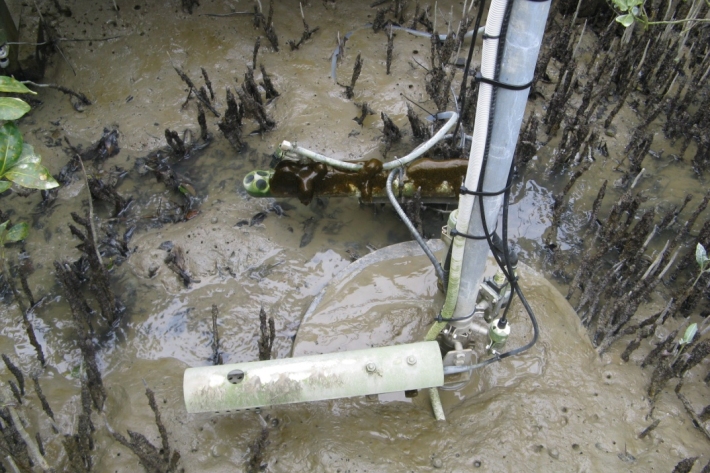
Biological limitations
Identifying biological factors that may be limiting fish numbers requires sampling to ensure that key invertebrate prey species are not scarce and that pest fish, especially predators, are not abundant. -
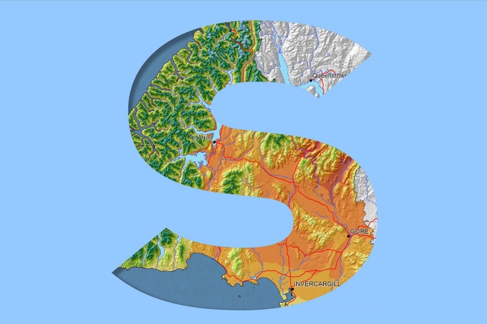
Southland
Southland is both the most southerly and most westerly part of New Zealand and generally is the first to be influenced by weather systems moving onto the country from the west or south. -
CASAL
CASAL is an advanced software package developed by NIWA for fish stock assessment. -
Our mission
NIWA's mission is to conduct leading environmental science to enable the sustainable management of natural resources for New Zealand and the planet. -
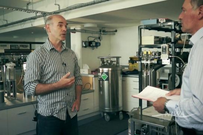
What is Ocean acidification?
NIWA oceanographer Dr Cliff Law explains the impacts of ocean acidification on organisms that use carbonates to build their shells, and on bacteria. -
Mean monthly temperatures (°C)
These datasets are available in a range of formats.