-

Forestry activities
Forest plantations in Aotearoa can be found on flat, gently rolling, or very steep terrain. -
Investigating ocean acidification
Feature story06 June 2017The world’s oceans are acidifying as a result of the carbon dioxide (CO2) generated by humanity. -
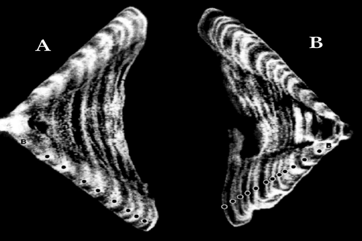
Determining the age of fish
Research ProjectNIWA expends considerable effort on determining the age of commercial fish species. But why age a fish? And how do we do it? -
Population modelling software
Casal2 is an advanced software package developed by NIWA for modelling the population dynamics of marine species. -
Climate mapping
Read about how NIWA can map any aspect of climate to help guide your organisation's response to a changing and variable climate. -
Mitigation and best practice options
Some simple steps to minimise the effects of mining activities on water quality and mahinga kai. -
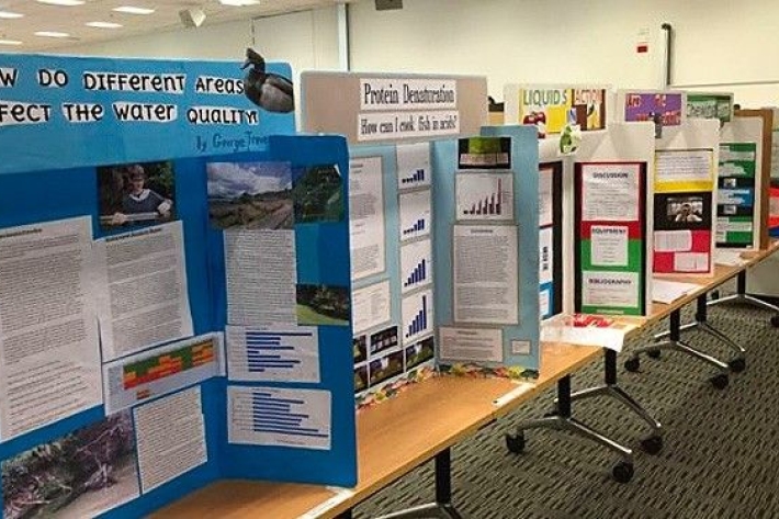
Science and Technology Fairs
NIWA is a major sponsor of the Auckland, Manukau City, North Harbour, Waikato, Wellington, Canterbury and Bay of Plenty – Science & Technology Fairs. -
Weather plots: temperature and relative humidity
Objective: to observe the relationship between temperature and relative humidity. -
Floods
Education ResourceRiver floods occur when water spills from a river channel onto land that is normally dry, and are one of New Zealand's costliest natural hazards. -
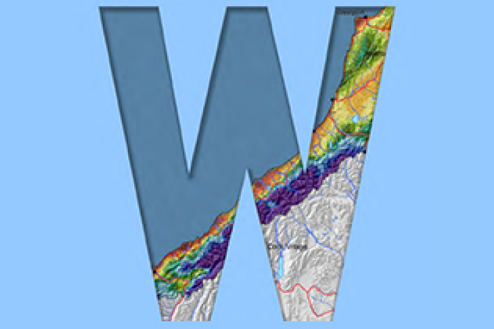
West Coast
West Coast is New Zealand’s wettest region, and this may be attributed to its exposure to the predominant westerly airflow over the country, combined with the orographic effect of the Southern Alps. -
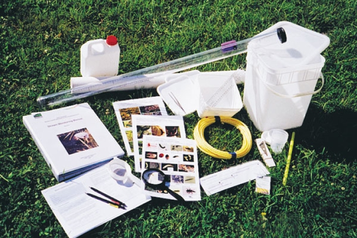
Stream Health Monitoring and Assessment Kit
ServiceHow healthy is your stream? SHMAK - the New Zealand Stream Health Monitoring and Assessment Kit - has been designed to help you find out.
