-

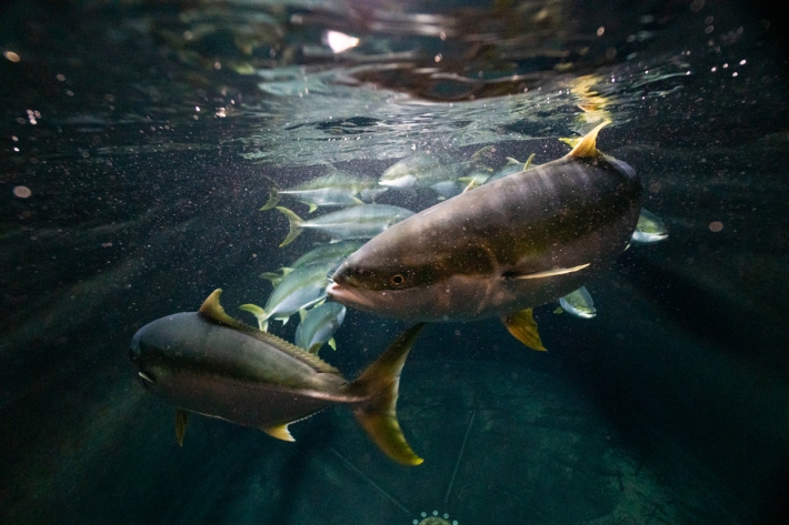
Tuna - age and methods of ageing
Currently, the most reliable method to estimate the age of tuna is by examination of their otoliths or "ear bones" -
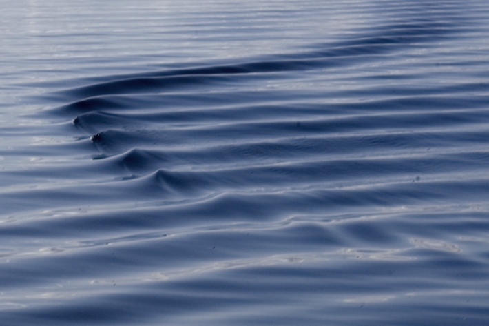
Canterbury Wave Conditions
Software Tool/ResourceNIWA run a computer model which simulates wave heights across the Canterbury continental shelf and along the coast. -
Publicly available data and publications
FacilityNIWA makes available and regularly updates results from several greenhouse gas measurement projects. -
New map reveals New Zealand’s seafloor in stunning detail
News article06 June 2017 -
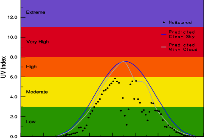
Yesterday's UV Index
Plots of UV levels throughout the day at different locations. -
Rainfall Deciles (RD)
If you list all the historic rainfall totals for a particular month and for a specific location, rank these from lowest to highest, then divide the list into ten equal parts, you have identified the ten rainfall deciles for that month and for that location. -
Map Scott
Education ResourceScott Base, Antarctica Antarctica is the coldest, windiest and driest continent. -
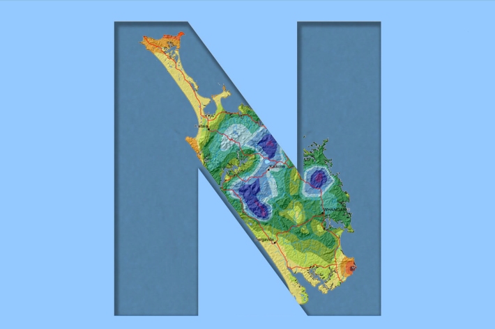
Northland
Northland, with its northern location, low elevation and close proximity to the sea is characterised by a mild, humid, and rather windy climate. -
Water take
Water take (also known as water abstraction) has a range of valuable public and private uses.