-
National and regional climate maps
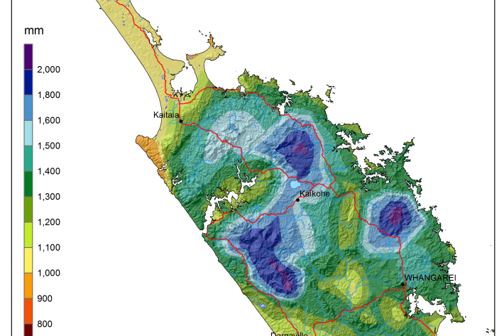
Research ProjectMaps of average annual rainfall, temperature and other climate variables have been produced for all of New Zealand, based on the period 1981–2010. -
Sediment
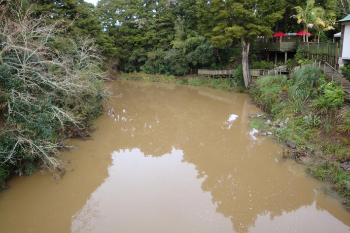
When soils erode, sediments are washed into waterways. -

Map W South
Education ResourceThe climate of this area is greatly dependent on its exposure to weather systems from the Tasman Sea and the lie of the Southern Alps to the east. -
New Zealand's Marine Realm
News article06 June 2017NIWA has transformed 1.5 million square kilometres of data into the most accurate and detailed map yet of the land underneath the sea around New Zealand. -
Climate and weather
Information about climate and weather and links to climate-related websites. -

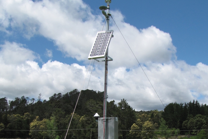
Environmental monitoring
NIWA collects a vast range of environmental information about New Zealand’s environment from the sky to the seafloor. -
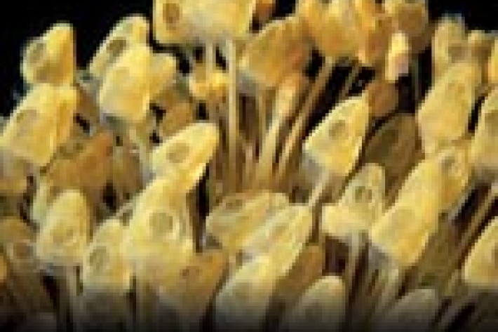
Tuna - glass eels
Glass eels (about 5.5 to 7.0 cm) arrive in fresh water during spring, especially during September and October, although they may be present from July to December. -
Pulp and paper
Wood chips and plant material make pulp that is used to produce paper products. -
Sediment and agriculture
How may agricultural activities increase sediments in waterways?