-

Map W South
Education ResourceThe climate of this area is greatly dependent on its exposure to weather systems from the Tasman Sea and the lie of the Southern Alps to the east. -
Standardised Precipitation Index (SPI)
The Standardised Precipitation Index (SPI) is a simple measure of drought (and also of very wet conditions) and is based solely on the accumulated precipitation for a given time period. -
Rainfall Deciles (RD)
If you list all the historic rainfall totals for a particular month and for a specific location, rank these from lowest to highest, then divide the list into ten equal parts, you have identified the ten rainfall deciles for that month and for that location. -
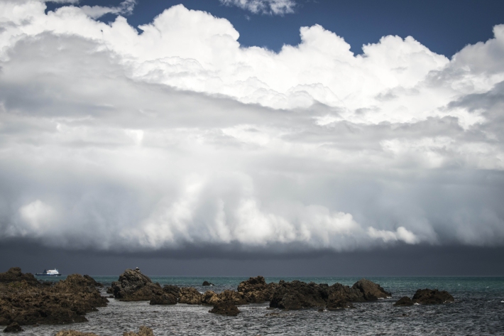
Clouds
Education ResourceCommon questions about clouds, how they are formed and how they behave. -
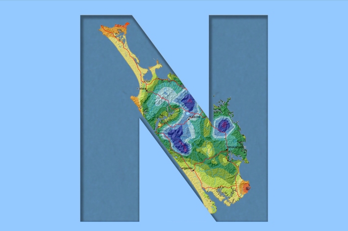
Northland
Northland, with its northern location, low elevation and close proximity to the sea is characterised by a mild, humid, and rather windy climate. -
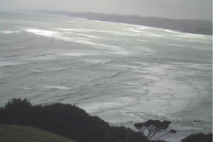
Raglan A
This web camera is available thanks to the support of Waikato Regional Council. -
Obtaining climate data from NIWA
NIWA maintains the national climate database for New Zealand, and can supply data in a variety of ways. -
The Intergovernmental Panel on Climate Change (IPCC)
Education ResourceThe Intergovernmental Panel on Climate Change (IPCC) is charged with assessing the most up to date scientific, technical and socio-economic research on climate change. -
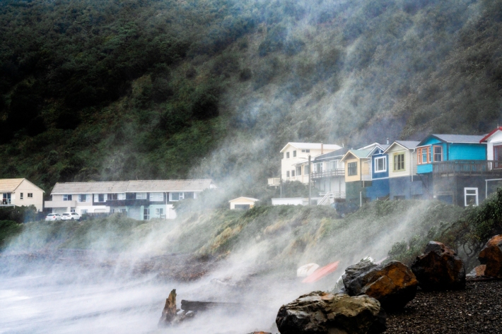
Coastal storm inundation
Education ResourceNew Zealand has low-lying coastal areas that are vulnerable to inundation (flooding) by the sea. -
Sediment and agriculture
How may agricultural activities increase sediments in waterways?