-
Statement of Core Purpose
The Statement of Core Purpose spells out why the Government owns Crown Research Institutes and what it expects from them. -

Map N South
Education ResourceAs much of this climate zone is sheltered by high country to the west, south and in some areas to the east, it is the sunniest region of New Zealand. -

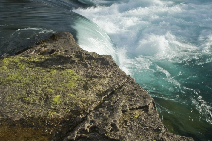
Wave hazard research
Research ProjectNIWA collects wave data, develops and verifies wave forecasting systems, and is developing and producing wave projections. -
Organisational sustainability
NIWA's goal is to provide the science to help New Zealanders transition to a sustainable future. -
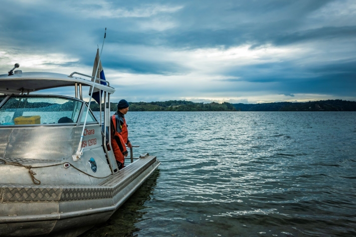
Other vessels
FacilityNIWA operates about 30 other Maritime New Zealand-certified vessels based at Bream Bay, Auckland, Hamilton, Rotorua, Turangi, Wellington, Nelson, Greymouth, Tekapo, Christchurch, and Dunedin. -
Water temperature and hydro
How do hydro-electricity activities potentially influence waterway temperatures? -
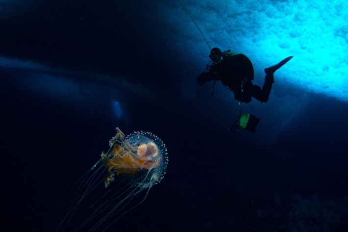
Blogs
Follow NIWA's scientists as they explore the natural world, make new discoveries and share how people use their science. -
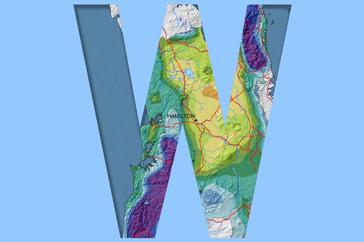
Waikato
Waikato exhibits a range of climates due to the variety of landscapes in the region. -
Tsunami
Education ResourceTsunami is a Japanese word meaning great wave in harbour. -
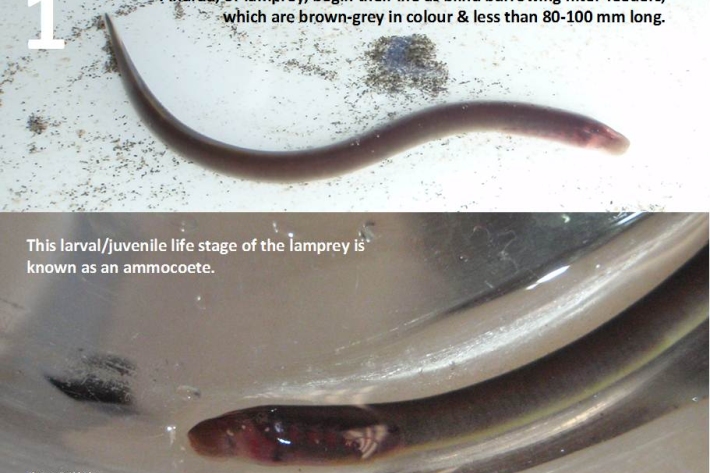
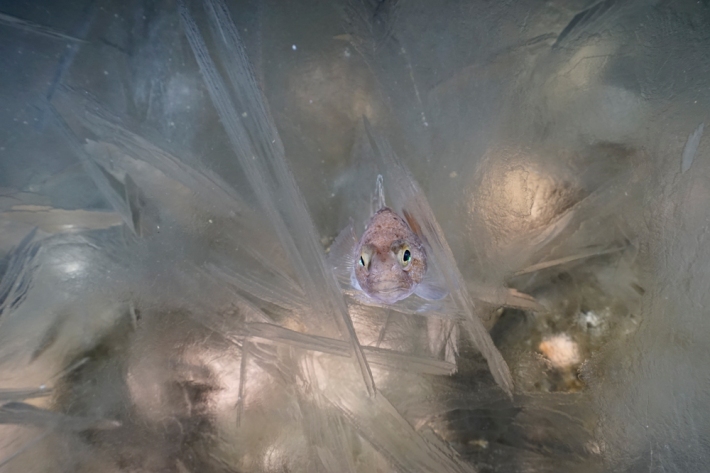
Restoration and enhancement of piharau / kanakana / lamprey
Research ProjectNIWA is leading a new six-year research project that seeks to increase our understanding of piharau/kanakana/lamprey, using Mātauranga Māori, social science and biophysical science approaches. -
Virtual Climate Station data and products
Virtual climate station estimates are produced every day, based on the spatial interpolation of actual data observations made at climate stations located around the country.