-

Station details
Station height is in metres above mean sea level. Years of data are the number of complete years of data for the 1981 – 2010 period. -
Map Alpine
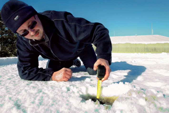
Education ResourceMountainous areas are subject to heavy snowfalls, high winds, and low temperatures. Semi-permanent snow and ice fields exist at about 1000-1100 metres during winter. -
Tuna - identification
There are several ways to tell the three New Zealand eel species apart. -
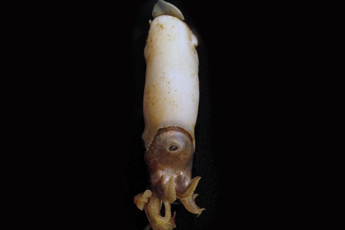
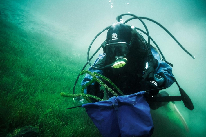
Critter of the week
In this blog series, we feature a new critter from our expansive invertebrate collection including pictures of specimens in their unique habitat. The blogs also feature news, links and fun facts that showcase New Zealand’s fascinating marine fauna. -
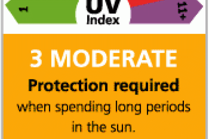
Real-time UV Index displays
NIWA has developed a real time UV display in consultation with the Cancer Society and Sunsmart. -
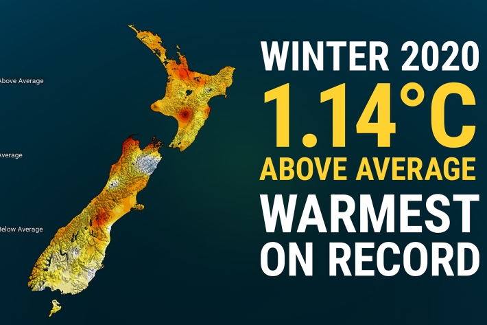
Winter 2020 – NZ’s warmest winter on record
Media release06 June 2017New Zealand has just experienced its warmest winter on record, according to official NIWA climate data. -

“Very rare find” of ghost shark hatchling
Media release06 June 2017NIWA scientists have made the rare discovery of a days-old ghost shark during a recent survey off the east coast of the South Island. -
Ideas for projects using climate data
Education ResourceIdeas for projects using climate data -
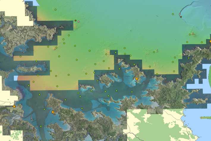
QGIS
QGIS is a free, open source, desktop mapping tool, widely used in New Zealand in government, research, commercial and NGO arenas.