-

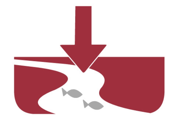
Mahinga kai and migration
A high proportion of New Zealand’s native freshwater fish fauna need to migrate to and from the sea. -
Station details
Station height is in metres above mean sea level. Years of data are the number of complete years of data for the 1981 – 2010 period. -
Map Alpine
Education ResourceMountainous areas are subject to heavy snowfalls, high winds, and low temperatures. Semi-permanent snow and ice fields exist at about 1000-1100 metres during winter. -
Our work
We have an exciting range of career opportunities at NIWA in both the scientific and professional support areas. -
Tuna
Tuna or freshwater eels are a very significant, widely-valued, heavily-exploited, culturally iconic mahinga kai resource. -
New Zealand from space
This daily image of New Zealand from space was created using data from one of NASA's EOS satellites, collected at our receiving station in Lauder, Central Otago. -
Seasonal
Publication seriesSeasonal climate summaries from summer 2001 to the present. -
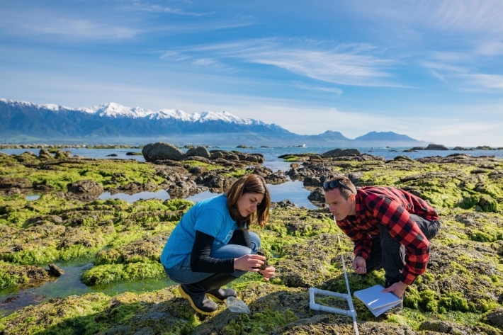
Water clarity
Water clarity or turbidity is the cloudiness or haziness in a fluid caused by individual small particles (suspended solids). -
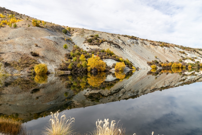
Impacts of hydro
Impacts of hydro-electric activities on water quality and mahinga kai. -
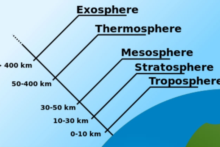
Layers of the atmosphere
Education ResourceThe atmosphere is comprised of layers based on temperature. These layers are the troposphere, stratosphere, mesosphere and thermosphere.