-
Climate change scenarios for New Zealand
Research ProjectProjections of how climate change is likely to affect New Zealand. -

NIWA staff profile: Nava Fedaeff
Feature story06 June 2017At the age of seven, NIWA’s youngest climate scientist, Nava Fedaeff, swapped sub-arctic Siberia for balmy Auckland – and her first job was to learn to swim. -
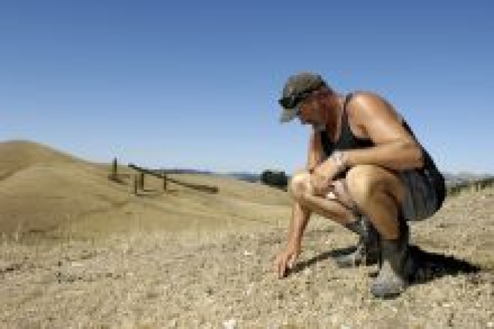
Cropping activities
The land used to produce crops is usually flat to gently rolling so it can be tilled, sowed, and harvested. -
Sediment and forestry
How may forestry activities increase sediments in waterways? -
Climate stations and instruments
We can supply a wide range of weather or climate monitoring instruments from single parameter sensors to fully equipped and installed climate stations. -
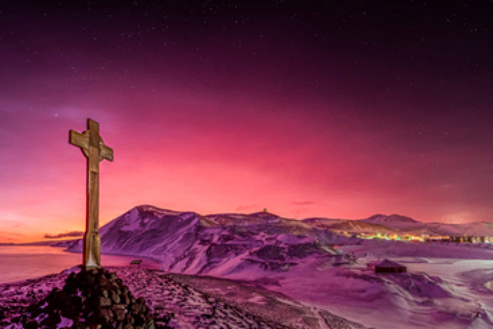
Tonga volcano “afterglow” causes dazzling skies in Antarctica
Media release06 June 2017Antarctica is experiencing stunning skyscapes like those recently seen in New Zealand, thanks to the afterglow effect from the Tongan volcano. -
Climate mapping
Read about how NIWA can map any aspect of climate to help guide your organisation's response to a changing and variable climate. -
Soil Moisture Deficit (SMD)
The 3-panel Soil Moisture Deficit (SMD) map shows the historical soil moisture deficit at the date shown (left), the soil moisture deficit at the same time last year (middle) and the current soil moisture deficit (right). -
Mitigation and best practice options
Some simple steps to minimise the effects of mining activities on water quality and mahinga kai. -
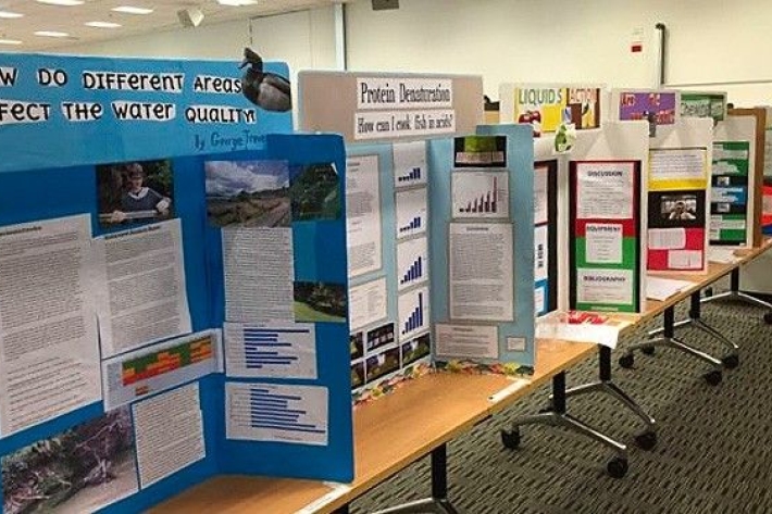
Science and Technology Fairs
NIWA is a major sponsor of the Auckland, Manukau City, North Harbour, Waikato, Wellington, Canterbury and Bay of Plenty – Science & Technology Fairs. -
Weather plots: temperature and relative humidity
Objective: to observe the relationship between temperature and relative humidity. -
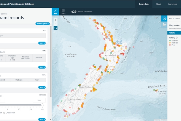
New Zealand Palaeotsunami Database
Software Tool/ResourceThe New Zealand Palaeotsunami Database (Database) brings together all known information about tsunamis that occurred prior to written records.